How a real restoration project appears on the map
Explore our projects on the public map → https://explorer.land/x/project/choras-reforestation
How a real restoration project appears on the map
Explore our projects on the public map → https://explorer.land/x/project/choras-reforestation
Public transparency is becoming the backbone of credible climate action. Today, trust is built not only through reports, but through what anyone can visually verify on an open map. When a restoration project is visible in space and time, its impact becomes tangible rather than abstract.
Geospatial evidence is the digital footprint of restoration. On a public map you can see exact coordinates, clearly drawn site polygons that define project boundaries, and layered information showing project status. These elements reveal where work is happening, how large the site is, and how conditions evolve over time. Instead of relying on claims, readers can observe change directly.
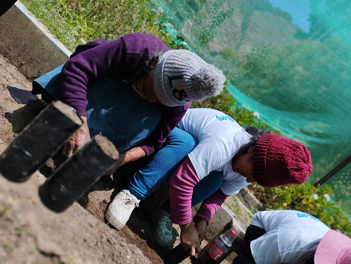
This evidence is constructed through a rigorous process. Local teams collect field data using GPS-enabled tools, documenting planting activities, maintenance, and site conditions. Satellite imagery then provides consistent, high-resolution views from above, capturing vegetation trends across months and years. Periodic updates connect both sources, creating a coherent timeline that aligns ground reality with remote sensing.
Reforest Trees integrates forest science, ecological restoration, and open-data transparency. Projects are designed for long-term ecosystem recovery, using native species and systematic monitoring. By publishing geospatial data openly, the organization transforms technical information into accessible proof that anyone can review.
To learn how to “read” the map, start by zooming to the site and examining the project polygon. Then explore dated updates that pair satellite snapshots with field photographs and notes. Look for consistency between what is reported on the ground and what is visible from space. This is exactly how public transparency reduces the risk of greenwashing.
See project updates and public evidence → https://explorer.land/x/project/choras-reforestation
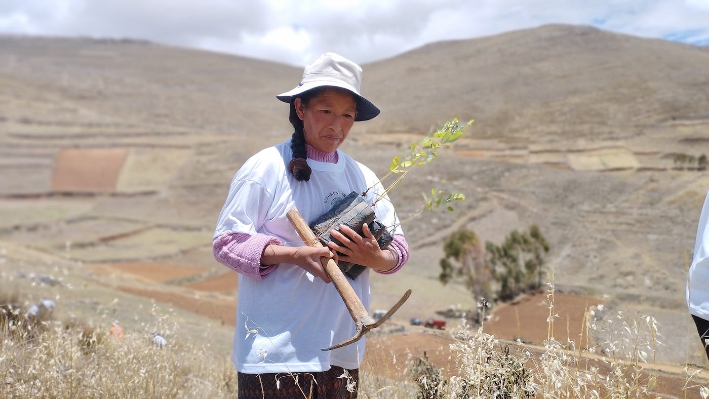
Shipibo communities in the Amazon and partner communities in the Andean Sierra are not passive recipients; they are co-managers of the project. They lead field data collection, operate native plant nurseries, plant and maintain trees, and participate in local verification. Their knowledge strengthens both ecological care and data credibility, blending Indigenous stewardship with modern geospatial tools.
By making evidence public, restoration becomes a shared responsibility. Donors, communities, and researchers can all follow progress, ask questions, and learn from results. This openness builds accountability while honoring the people who protect the forest every day.
Donate with confidence: every contribution is backed by public geospatial evidence and verifiable community work.
메타데이터
- post_id
- 048eedd2cbdf
- slug
- how-a-real-restoration-project-appears-on-the-map-048eedd2cbdf
- url
- https://medium.com/@treesreforest/how-a-real-restoration-project-appears-on-the-map-048eedd2cbdf
- canonical_url
- https://medium.com/@treesreforest/how-a-real-restoration-project-appears-on-the-map-048eedd2cbdf
- author_url
- https://medium.com/@treesreforest
- status
- ok
- fetched_at
- 2026-06-12 10:20:10