3D Visualization in Highway Design: Benefits and Best Practices
The world of infrastructure development is changing rapidly, and technology continues to play a defining role in how projects are planned…
3D Visualization in Highway Design: Benefits and Best Practices
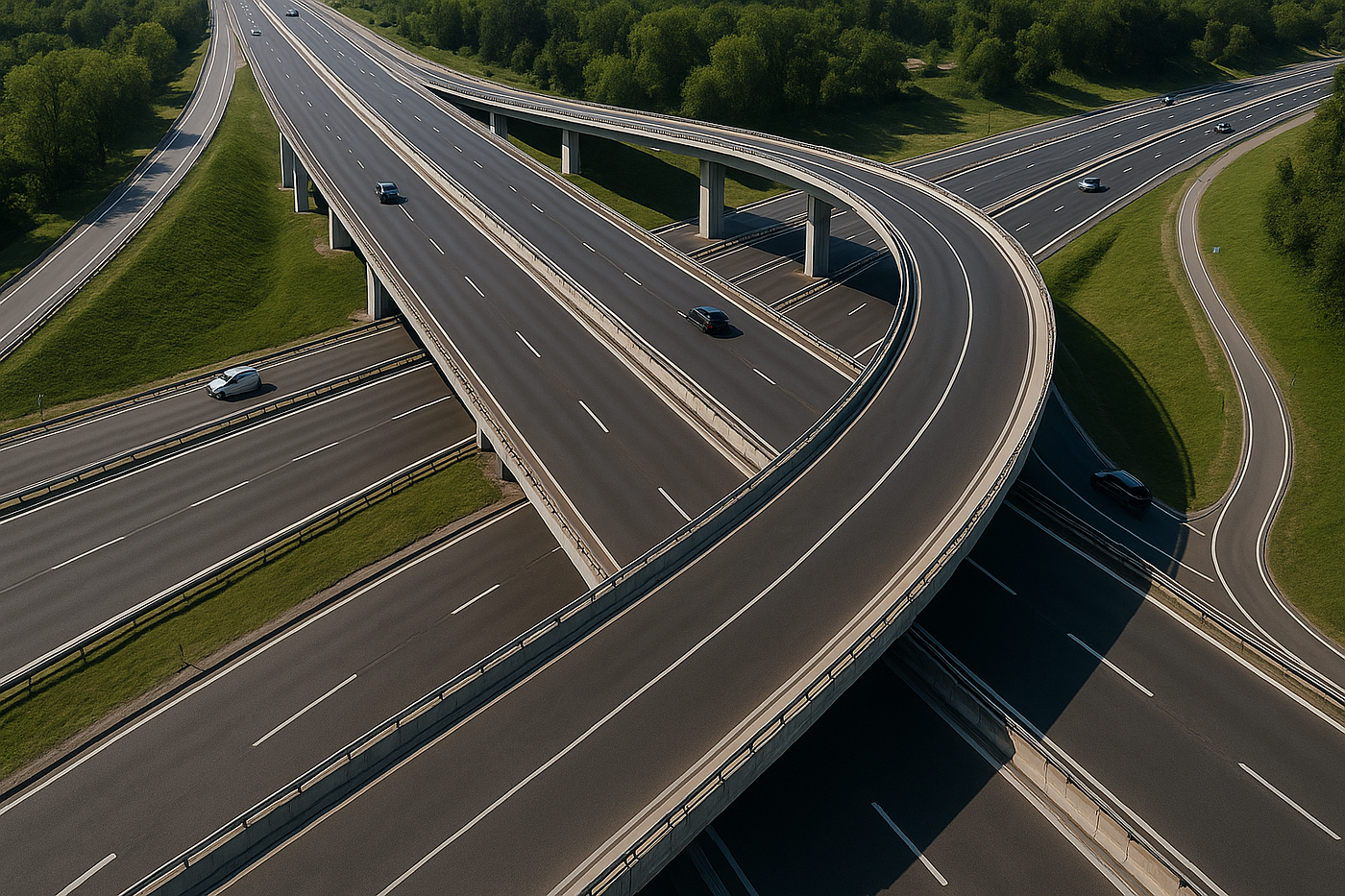
The world of infrastructure development is changing rapidly, and technology continues to play a defining role in how projects are planned, designed, and executed. Among these advancements, 3D visualization has emerged as a game-changer for modern highway projects. By transforming technical data and CAD drawings into lifelike digital models, engineers, planners, and stakeholders can visualize highways before they’re even built. This not only accelerates the design process but also ensures smoother collaboration and better decision-making.
In this blog, we’ll explore the benefits of 3D visualization in highway design and outline best practices to get the most out of this powerful tool.
Why 3D Visualization Matters in Highway Projects
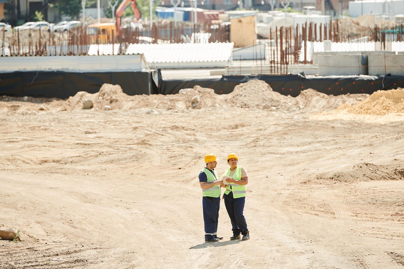
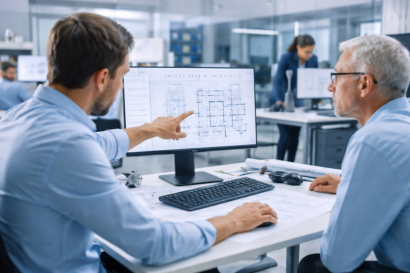
Traditional highway planning has always relied heavily on 2D drawings, cross-sections, and profiles. While these remain essential, they can sometimes be difficult for non-technical stakeholders to interpret. Complex alignments, grading challenges, or interchange layouts might not be immediately clear on paper.
This is where 3D visualization makes a difference. By offering an immersive perspective of how a proposed road will integrate with the surrounding terrain, vegetation, and built environment, it eliminates ambiguity. Stakeholders ranging from engineers to government officials and local communities can see the design in a form that feels tangible and realistic.
3D visualization also supports scenario testing. Designers can compare different alignments, interchange concepts, or drainage solutions side by side, enabling faster and more informed decisions.
Key Benefits of 3D Visualization in Highway Design
1. Enhanced Communication
Perhaps the most obvious benefit is communication. A 3D model conveys information more effectively than stacks of technical drawings. When presenting to decision-makers, 3D visualizations help secure approvals faster by clearly demonstrating how the design will function and look.
2. Early Detection of Design Flaws
Visualizing the project in three dimensions often reveals issues that might not be obvious in 2D. For example, potential conflicts in intersections, misaligned road grades, or inadequate clearances for bridges can be identified early in the process, saving significant time and costs.
3. Improved Stakeholder Engagement
Highway projects often impact communities directly. Local residents, businesses, and civic bodies need assurance that the design considers their concerns. 3D visualization allows them to see how traffic flow, accessibility, and safety are addressed, fostering transparency and trust.
4. Cost and Time Savings
By spotting potential issues early and enabling efficient collaboration, 3D visualization minimizes rework during construction. It also supports accurate material quantity estimations, reducing cost overruns. Faster approvals and smoother workflows contribute to overall project efficiency.
5. Support for Sustainability Goals
With environmental considerations becoming central to infrastructure projects, 3D visualization helps evaluate impacts on landscapes, ecosystems, and urban settings. This ensures that designs align with sustainability standards and minimize ecological disruption.
Best Practices for Using 3D Visualization
To maximize the value of 3D visualization, it’s important to follow certain best practices:
1. Integrate with BIM and CAD Tools
3D visualization should not be treated as an isolated tool but as part of an integrated workflow. Using visualization in conjunction with Building Information Modeling (BIM) and CAD ensures that designs are accurate, detailed, and easy to update.
2. Focus on Realism and Accuracy
While aesthetics are important, realism and accuracy are critical. A 3D visualization should accurately reflect road alignments, grading, drainage, and traffic flow. Incorporating terrain data, aerial imagery, and real-world topography ensures reliability.
3. Prioritize Usability for Non-Experts
Not every stakeholder will have an engineering background. Effective 3D visualizations should strike a balance between technical accuracy and user-friendliness, enabling clear interpretation for both technical teams and laypersons.
4. Leverage Simulation Features
Modern 3D visualization tools allow traffic simulations, lighting studies, and even construction sequencing. Using these features provides deeper insights into how the design will perform under real-world conditions.
5. Maintain Flexibility for Revisions
Highway projects evolve through multiple design iterations. 3D visualization tools should be flexible enough to accommodate changes without requiring complete rework. Scalable, modular models save significant effort over time.
The Future of Highway Design
As infrastructure projects grow more ambitious and timelines become tighter, the demand for intuitive, accurate, and collaborative tools will continue to rise. 3D visualization is not just a supporting technology; it is becoming central to how highways are planned and executed.
Looking ahead, advancements in virtual reality (VR) and augmented reality (AR) will further enhance the design experience. Imagine walking through a virtual highway corridor or using AR to overlay proposed alignments on real-world terrain. Such innovations will push the boundaries of what’s possible in infrastructure development.
Engineering firms and consultants increasingly rely on this technology to deliver value-added solutions. For instance, **ProtoTech Solutions helps transportation engineers by converting CAD drawings into dynamic 3D models, providing stakeholders with a holistic view of the project. Their expertise ensures that visualization becomes an integral part of the [highway design service](https://prototechsolutions.com/services/civil-3d-road-design/)** ecosystem, not just an afterthought.
Final Thoughts
3D visualization has transformed highway design from static drawings into interactive, immersive experiences. By enhancing communication, detecting issues early, and improving efficiency, it has become an indispensable tool for modern infrastructure projects.
Firms that embrace visualization are not only improving project outcomes but also building stronger relationships with stakeholders. As best practices evolve and technologies advance, 3D visualization will remain at the heart of delivering smarter, safer, and more sustainable highways.
메타데이터
- post_id
- 2b3ecfcfbdad
- slug
- 3d-visualization-in-highway-design-benefits-and-best-practices-2b3ecfcfbdad
- url
- https://medium.com/@prototechsolutions/3d-visualization-in-highway-design-benefits-and-best-practices-2b3ecfcfbdad
- canonical_url
- https://medium.com/@prototechsolutions/3d-visualization-in-highway-design-benefits-and-best-practices-2b3ecfcfbdad
- author_url
- https://medium.com/@prototechsolutions
- status
- ok
- fetched_at
- 2026-07-24 13:04:11