When the Grid Collapses: Infrastructureless Relief Through Leaderless Swarms
In the first critical hours after a natural disaster, chaos is the deadliest enemy. While autonomous swarm robotics has transformed the…
When the Grid Collapses: Infrastructureless Relief Through Leaderless Swarms
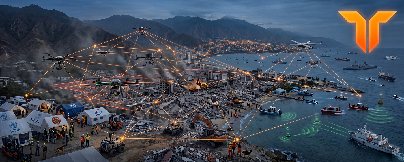
In the first critical hours after a natural disaster, chaos is the deadliest enemy. While autonomous swarm robotics has transformed the core doctrine of emergency response operations, their success relies entirely on how fast they can bring order to a shattered landscape. Coordinated drone swarms deployed across active wildfire environments in California, Greece, Portugal, Australia, and India have already demonstrated up to sixty percent reduction in total burn areas during operational trials.
Automated city-scale structural damage mapping using drone sectoring has become standard operational practice following major natural disasters, including the earthquake response operations in Türkiye, Syria, and the Noto Peninsula in Japan.
Leading disaster response agencies, including UN OCHA, FEMA, the EU Civil Protection Mechanism, and JICA, increasingly recognize drones and multi-agency uncrewed fleets as part of modern disaster response playbooks, driving the global swarm robotics market to a 1.46 billion USD valuation.
The Operational Pain: The Infrastructure Vacuum
The brutal reality of emergency response is that you are often operating in an information blackout. When a catastrophe strikes, local communication infrastructure can collapse instantly, cellular networks go dark, GPS is heavily degraded within collapsed urban structures or under dense smoke plumes, and centralized command centers may take hours to establish, time buried victims simply do not have.
In these life-or-death scenarios, the autonomous coordination layer must generate its own localized consensus without relying on a single external server.
Furthermore, modern disaster response requires the integration of separate agencies, including municipal fire departments, state rescue units, federal military support, and civil non-governmental organizations.
These entities must share ground data in real time, yet data-security barriers and ownership concerns often prevent any single agency from hosting a centralized master server for the entire operation.
In the first hours after a disaster, the real bottleneck is often not the damage itself, but the absence of a trusted shared picture of what is still standing, what is safe to enter, and where help is needed most.
When minutes decide whether a survivor is found, the system that matters most is not the one with the most hardware, it is the one that can still think when the grid goes dark.
Where Vertex Plugs In: Localized Consensus
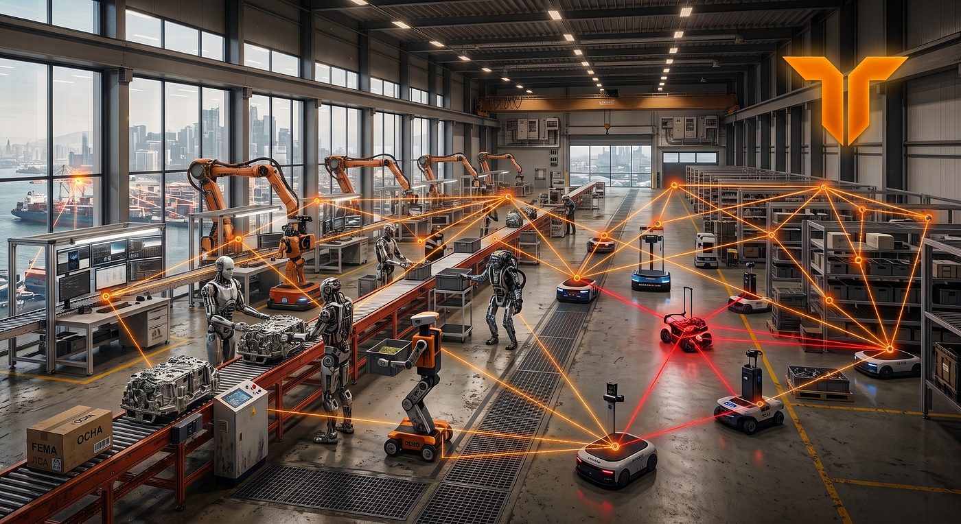
Tashi Vertex resolves this coordination barrier by allowing field personnel, aerial search swarms, and ground rovers to establish an ad-hoc consensus mesh without requiring external network backhaul.
Crucial operational data points, including verified victim locations, cleared structural sectors, and material resource requests, are recorded as cryptographically signed events across the shared DAG.
This architecture ensures separate rescue teams never duplicate search efforts within the same grid coordinates.
Because every participating agency maintains its own replica of the ledger and keeps control of its cryptographic keys, the mesh supports zero-trust integration without requiring a single owner of the data layer. No single agency owns the data layer, yet all participants operate from a synchronized, tamper-resistant map.
Emergency Response Verification Configurations
- Earthquake Block Sweep Protocol: Directs twenty aerial platforms and six ground rovers across a square kilometer grid of collapsed structures. Every verified sector clearance registers as a signed ledger event, ensuring rescue teams never waste precious time searching the same rubble twice. The moment a survivor is detected, the mesh triggers automated, real-time ambulance routing directly to the extraction point.
- Wildfire Front Delineation Sequence: Coordinates fifteen thermal imaging drones mapping a fast-moving fire perimeter. Each asset records localized, partial boundary vectors, and the peer mesh aggregates these inputs into a single, unified perimeter polygon updated at 1 Hz.
- Multi-Agency Flood Rescue Operation: Tracks watercraft from separate civil agencies coordinating with aerial surveillance drones and shore elements with no internet connectivity, generating a single, synchronized operational map across local peer nodes.
The Northern Venezuela Crisis
The theoretical constraints of uncrewed disaster response became absolute realities during the catastrophic June 24, 2026 northern Venezuela doublet earthquakes. When a magnitude 7.2 foreshock and a magnitude 7.5 mainshock struck a mere 39 seconds apart, the violent double tremor instantly flattened eighty percent of infrastructure in La Guaira state and severely crippled portions of Caracas.
The immediate consequence was a complete collapse of the regional electrical grid and cellular telecommunications network, plunging the first critical hours of the rescue operation into an information vacuum.
In a real-world deployment simulation modeled directly on this disaster, a mixed fleet of thirty aerial search drones and eight heavy ground rovers is dropped into a communication-denied rubble field. Instead of attempting to connect to a centralized cloud architecture that was physically destroyed by the tremor, the hardware nodes automatically construct a leaderless edge mesh using Tashi Vertex.
Local civil protection squads, municipal fire units, and incoming international aid organizations carry independent cryptographic signing keys. As they scan the wreckage, their platforms log canine tracking markers, structural hazard maps, and trapped victim indicators directly onto a shared, decentralized DAG.
Then, disaster strikes twice. When a severe magnitude 6.1 aftershock rolls through the region mid-operation, instantly destroying a quarter of the active drone fleet, a traditional centralized system would suffer total network collapse.
Instead, Tashi’s leaderless mesh absorbs the blow. The surviving drones and rovers activate the native compute_redistributionengine to automatically identify which nodes went dark, re-map the target grid, and distribute the remaining search quadrants deterministically, ensuring the rescue mission doesn’t miss a beat
By removing any reliance on centralized master servers or vulnerable state databases, the ad-hoc mesh ensures the absolute continuity of the life-saving rescue chain, even when local infrastructure has been severely degraded or lost.
When the map disappears and the grid fails, Vertex ensures that the technology designed to save lives never stops working.
메타데이터
- post_id
- 2cc3163be09c
- slug
- when-the-grid-collapses-infrastructureless-relief-through-leaderless-swarms-2cc3163be09c
- url
- https://medium.com/tashi-network/when-the-grid-collapses-infrastructureless-relief-through-leaderless-swarms-2cc3163be09c
- canonical_url
- https://medium.com/tashi-network/when-the-grid-collapses-infrastructureless-relief-through-leaderless-swarms-2cc3163be09c
- author_url
- https://medium.com/@george_37501
- status
- ok
- fetched_at
- 2026-07-18 09:21:29