Geospatial AI in Defence and Security: From Intelligence to Autonomous Mission Planning
Modern defence and national security operations increasingly rely on geospatial intelligence (GEOINT) — the analysis of geographically…
Geospatial AI in Defence and Security: From Intelligence to Autonomous Mission Planning

Geospatial Intelligence solutions for Defense & Intelligence (Courtesy: Esri)
Modern defence and national security operations increasingly rely on geospatial intelligence (GEOINT) — the analysis of geographically referenced information derived from satellite imagery, UAV sensors, radar, and other spatial datasets. Traditionally, geospatial analysis was dependent on human analysts interpreting maps and imagery in Geographic Information Systems (GIS). Today, Geospatial Artificial Intelligence (GeoAI) is transforming this domain by combining machine learning, generative AI, and autonomous AI agents with large-scale spatial data pipelines. AI systems can now analyze massive volumes of satellite imagery, detect patterns across time and space, and produce decision-ready intelligence faster than human analysts alone. This capability is critical because modern defense operations generate vast geospatial datasets from satellites, UAVs, and sensor networks that must be processed in near real-time to support operational decision-making.
In practice, GeoAI enables automation across the entire intelligence lifecycle — from data ingestion and analysis to predictive modeling and mission planning. Below are some of the most impactful defence and security use cases where ML, GenAI, and Agentic AI are trnasforming the geospatial capabilities.
1. Intelligence, Surveillance, and Reconnaissance (ISR)
Intelligence, Surveillance, and Reconnaissance (ISR) remains the most mature and impactful application of geospatial AI in defence. ISR operations involve continuous monitoring of environments using satellites, drones, ground sensors, and radar systems to detect threats and track adversary activity. AI-powered geospatial analytics automates the exploitation of this data by applying computer vision and deep learning models to imagery streams to identify vehicles, aircraft, vessels, infrastructure, and troop movements. Machine learning models can perform object detection, change detection, and anomaly detection across multi-temporal imagery, enabling analysts to quickly identify emerging threats. For example, programs such as the U.S. Department of War Project Maven use machine learning to process massive volumes of surveillance imagery and identify military objects or suspicious activities automatically.
Generative AI can further enhance ISR by producing automated intelligence summaries and visual reports from spatial data feeds, reducing the time required for analysts to interpret imagery. Meanwhile, Agentic AI workflows can orchestrate ISR pipelines autonomously: one agent detects objects in satellite imagery, another performs change analysis, and a third generates threat alerts for commanders. This type of multi-agent workflow compresses the intelligence cycle and improves situational awareness in contested environments.
2. Mission Planning and Terrain Analysis
Mission planning is fundamentally a geospatial problem. Military commanders must evaluate terrain features such as elevation, line-of-sight visibility, transportation networks, urban structures, and environmental constraints when designing operations. GeoAI enables automated terrain analysis by combining digital elevation models, satellite imagery, and infrastructure datasets with machine learning models capable of evaluating mobility corridors, chokepoints, and concealment zones. AI-driven geospatial analysis can also simulate potential adversary movements or predict logistics routes across terrain using probabilistic models and spatiotemporal analysis.
Generative AI introduces new capabilities in this domain by producing interactive mission plans and terrain explanations based on geospatial datasets. For example, a generative system could produce a narrative describing potential infiltration routes, drone flight paths, or radar coverage gaps. Agentic AI systems can further enhance mission planning by dynamically evaluating multiple Courses of Action (CoAs) using geospatial models. An agent might analyse terrain constraints, another could simulate adversary movement patterns, and a supervisory agent could recommend the most viable operational plan.
3. Defence Simulation and Combat Modeling
Defence simulation and modelling increasingly relies on geospatial datasets to create realistic digital representations of battlefields. Modern simulation platforms integrate satellite imagery, terrain elevation models, infrastructure layers, and weather data to create digital twins of operational environments. These geospatially grounded simulations are used to train commanders, evaluate tactics, and test operational strategies before deployment.
Machine learning enhances combat modelling by enabling simulations to incorporate data-driven behavioural models of adversaries, logistics networks, and battlefield dynamics. Generative AI can create synthetic battlefield environments or generate large volumes of training data for simulation scenarios. Meanwhile, Agentic AI frameworks can represent autonomous decision-making entities within simulations — such as adversary units, unmanned systems, or coalition forces — allowing simulations to evaluate complex multi-domain operations. The integration of geospatial digital twins with AI-driven agents is emerging as a powerful capability for operational planning and training.
4. Border Security and Land Surveillance
Border security is another critical domain where geospatial AI is widely applied. National borders often span vast and difficult terrain, making continuous monitoring difficult using traditional methods. Geospatial AI systems integrate satellite imagery, UAV surveillance, ground sensors, and radar data to detect suspicious activity such as illegal crossings, smuggling routes, or infiltration attempts.
Machine learning models can analyse imagery and sensor data to detect movement patterns or classify vehicles and individuals approaching a border. Advanced systems also integrate geospatial data into command-and-control platforms that display a real-time common operating picture, enabling security forces to coordinate responses quickly. For example, sensor networks deployed along borders can feed geospatial maps where operators track detected activity and assess threats in real time.
Generative AI and agentic systems can further enhance border security by automatically producing incident reports, predicting infiltration routes based on terrain and historical patterns, and coordinating response actions between surveillance assets.
5. Maritime Domain Awareness and Coastal Surveillance
Maritime Domain Awareness (MDA) is essential for monitoring territorial waters, shipping lanes, and offshore infrastructure. Geospatial AI integrates data from satellites, maritime Automatic Identification System (AIS) signals, radar systems, and oceanographic sensors to create a comprehensive picture of maritime activity. AI models can detect vessels that deliberately disable tracking systems (“dark ships”), classify ship types, and identify suspicious behaviors such as illegal fishing, smuggling, or covert military activity.
Machine learning models applied to SAR (Synthetic Aperture Radar) imagery can identify vessels even in poor weather or at night, while anomaly detection algorithms highlight unusual vessel movements across large ocean regions. Generative AI can produce automated maritime intelligence reports or explain vessel behavior patterns to analysts. Agentic AI systems could coordinate satellite tasking, vessel detection algorithms, and anomaly analysis pipelines autonomously to monitor large maritime regions continuously.
6. Disaster Response and Crisis Monitoring
Although primarily associated with civilian applications, geospatial AI also plays a crucial role in defence-led disaster response and humanitarian missions. Military organizations often support disaster relief operations by analysing satellite imagery to assess infrastructure damage, identify blocked roads, and locate affected populations. Geospatial data provides an essential lens for understanding large-scale crises such as earthquakes, floods, or wildfires.
Machine learning models can rapidly analyse satellite imagery to detect damaged buildings or flooded areas, while generative AI can create situational reports and crisis summaries from geospatial observations. Agentic AI systems could orchestrate disaster response workflows by automatically prioritizing affected regions, allocating reconnaissance drones, and generating updated operational maps for rescue teams.
7. Autonomous Systems and Multi-Domain Operations Navigation
The next frontier of geospatial AI lies in supporting autonomous systems and multi-domain operations (MDO). Autonomous drones, robotic vehicles, and intelligent sensor networks rely heavily on geospatial data to navigate, detect threats, and coordinate actions. GeoAI enables these systems to interpret terrain, detect obstacles, and identify targets using computer vision and spatial reasoning.
In multi-domain operations — where land, air, sea, cyber, and space domains converge — geospatial AI provides the common spatial framework connecting sensors, platforms, and command systems. Agentic AI architectures can orchestrate multiple autonomous assets by integrating geospatial intelligence feeds and recommending coordinated actions across domains. As AI-driven geospatial analytics evolves, it will increasingly support real-time battlefield decision-making, autonomous surveillance missions, and adaptive operational strategies.
Agentic AI solution for GEOINT Pipelines
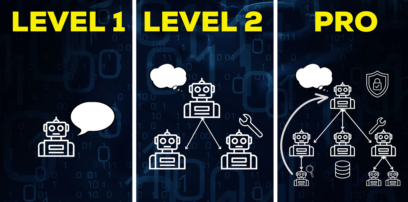
While machine learning and generative AI have significantly improved the analysis of geospatial data, the next transformation in defence GEOINT systems is the emergence of Agentic AI solutions. Instead of relying on a single model performing a fixed task, an agentic architecture orchestrates multiple specialized AI agents that collaborate to process geospatial data and generate operational intelligence. In this model, each agent performs a specific role within the intelligence lifecycle — such as data ingestion, feature extraction, threat detection, or decision recommendation — while a supervisory orchestration layer coordinates the workflow.
Platforms such as IBM watsonx Orchestrate demonstrate how these agent-based systems can be implemented in practice. In a GEOINT context, the orchestration platform acts as the central coordination layer, connecting AI agents with geospatial data services, satellite imagery feeds, GIS platforms, and analytics tools. Rather than manually running analysis workflows, intelligence teams can rely on a network of AI agents that automatically interpret data and produce insights.
A typical Agentic GEO.INT. pipeline might consist of several specialized agents working together such as the following:
- Data Ingestion Agent
- Feature Extraction Agent
- Change Detection Agent
- Threat Assessment Agent
- CoA Recommendation Agent
CoA Recommendation Agent As an example, a reasoning agent analyses the intelligence output and generates operational recommendations. It may suggest surveillance actions, drone reconnaissance missions, or defensive responses based on the detected geospatial patterns.
In a platform like IBM Watsonx Orchestrate, these agents can be defined as modular workflows connected through APIs, tools, and structured data pipelines. The orchestration layer ensures that agents communicate effectively, share context, and trigger the next stage of analysis automatically.

Agentic AI GEOINT Architecture using Watsonx platform for agentic orchestration
The benefit of this approach is that it mirrors the military intelligence cycle — collection, processing, analysis, dissemination — but implemented as an automated AI-driven workflow. Instead of analysts manually coordinating each step, the agentic architecture performs the workflow dynamically, allowing human analysts to focus on interpretation and strategic decision-making.
Looking ahead, Agentic AI will likely play a critical role in next-generation GEOINT platforms, particularly in environments where large volumes of geospatial data must be processed in near real time. As defense organizations adopt cloud-based geospatial infrastructures and integrate AI agents with simulation platforms and command systems, agentic GEOINT pipelines could enable faster intelligence production, adaptive mission planning, and autonomous operational support.
Disclaimer: Part of the views expressed here are those of the article’s author and may or may not represent the views of IBM Corporation. Part of the content (including images) on the blog is copyright from IBM or 3rd party vendors and all rights are reserved — but, unless otherwise noted- under IBM Corporation.
메타데이터
- post_id
- 45f59a0dde21
- slug
- geospatial-ai-in-defence-and-security-from-intelligence-to-autonomous-mission-planning-45f59a0dde21
- url
- https://medium.com/@geotzal/geospatial-ai-in-defence-and-security-from-intelligence-to-autonomous-mission-planning-45f59a0dde21
- canonical_url
- https://medium.com/@geotzal/geospatial-ai-in-defence-and-security-from-intelligence-to-autonomous-mission-planning-45f59a0dde21
- author_url
- https://medium.com/@geotzal
- status
- ok
- fetched_at
- 2026-06-13 16:00:06