Major paddling access planned on Cedar River south of Austin
Mower SWCD, CRWD, state partner on Orchard Creek launch
Major paddling access planned on Cedar River south of Austin
Mower SWCD, CRWD, state partner on Orchard Creek launch
June 12, 2025 — An official canoe-kayak access will be built this summer on the Cedar River State Water Trail nearly five miles south of Austin after more than a decade in the works.
Known as the “Orchard Creek Access,” the public site is along Minnesota Highway 105 in Lyle Township, about a half mile south of the Cedar City Cemetery sign between Mower County Roads 4 and 5.
Today, Mower Soil & Water Conservation District’s Board of Supervisors approved a nearly $117,210 construction bid from Rochester Sand & Gravel to build the access. Mower SWCD does the work of the Cedar River Watershed District, which has led the pursuit of creating an access at Orchard Creek.

An engineer’s drawing of the future Orchard Creek access on the Cedar River State Water Trail along Minnesota Highway 105 between Mower County Roads 4 and 5 in Lyle Township.


“It has been a long road but we are very grateful to our project partners for working with CRWD to make this key access a reality on our state water trail,” CRWD outreach coordinator Tim Ruzek said. “This will improve the safety and accessibility of the Orchard site that’s on a beautiful stretch of the Cedar.”
Orchard Creek flows into the Cedar River at the property owned by the Minnesota Department of Transportation. When completed, the Minnesota Department of Natural Resources will maintain the access and install signage.

A portion of the MN DNR’s map for the Cedar River State Water Trail shows where the future public access will be located at the confluence of Orchard Creek and the Cedar River in Lyle Township.
With design work by the WSE Massey engineering firm, the overall $161,210 project is funded by a $95,000 grant from The Hormel Foundation; $44,000 design-only DNR grant; and up to $50,000 in federal American Rescue Plan Act funds.

Officials expect construction on the access to start in July and open it by August. Work will include creating a new entrance/exit road that connects to Highway 105 and removing the old road. Crews also will construct a boat ramp with concrete planks along the Cedar River, just upstream from Orchard Creek, which flows in from the west.
A few years ago, plans for the site started making progress when MnDOT connected CRWD with WSE Massey’s Les Conway to create a rough plan and cost estimate for CRWD to use in seeking funding, especially from The Hormel Foundation. Prior to that, plans were delayed mainly due to funding resources and issues with property records.

Kayakers enjoy the Cedar River State Water Trail in June 2023 just downstream of the Orchard Creek confluence off Minnesota Highway 105.
This future Orchard Creek access will be about 7.5 river miles downstream from the access behind Austin’s Marcusen Park baseball stadium and nearly four river miles down from the DNR’s Riverwood Landing access near Solafide Observatory.
From Orchard, it is about eight river miles to Stateline Road at the Iowa border, where an access is on the southwest side.
While paddlers can put in and take out at county bridges, these sites can be difficult to use for launching or taking out watercraft from the river due to large rocks protecting against erosion. Dedicated public-access points allow for off-road parking and easy access to the river.

Cedar River-Orchard Creek confluence in August 2022 looking downstream.
To date, these public water accesses have been created on the Cedar River and tributary creeks that connect to the river:
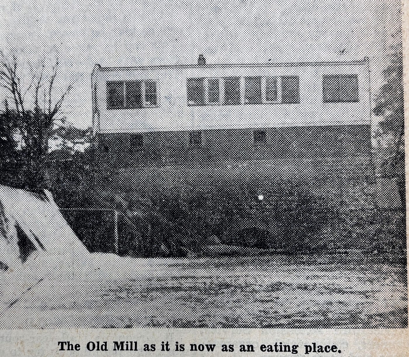
- 2023 — Below Ramsey Dam across from The Old Mill on Cedar River
- 2022 — Wolf Creek at Austin’s Wildwood Park (upstream from the Cedar and Interstate 90)
- 2022 — Turtle Creek at 12th St SW in Austin (NW side of bridge)
- 2017 — Austin’s Marcusen Park baseball stadium on Cedar River
(2011 — Cedar designated as a “state water trail” in Minnesota)
- 2008 — Boat ramp above Ramsey Dam to access Ramsey Mill Pond (Cedar River)
- 2007 –Riverwood Landing, south of Austin, on Cedar River
- 1999 –Austin Mill Pond boat ramp (north side) on Cedar River
Totaling 25 river miles in Mower County, the Cedar River State Water Trail is one of 35 state water trails that cover more than 4,500 miles overall. In 2011, the Minnesota Legislature designated 25 river miles of the Cedar (village of Lansing to the Iowa border) as the 33rd state water trail at the request of CRWD and its partners.
In summer 2023, state and county officials in Iowa celebrated designating 32 miles of the Cedar River as a “state water trail” through Mitchell County, which borders Mower County. That created 57 continuous river miles of “state water trail” between Mower and Mitchell counties. CRWD continues to work with colleagues in Iowa on water trail projects.
For more on Minnesota’s Cedar River State Water Trail — including real-time river levels and a water trail map –go online at: **www.dnr.state.mn.us/watertrails/cedarriver**

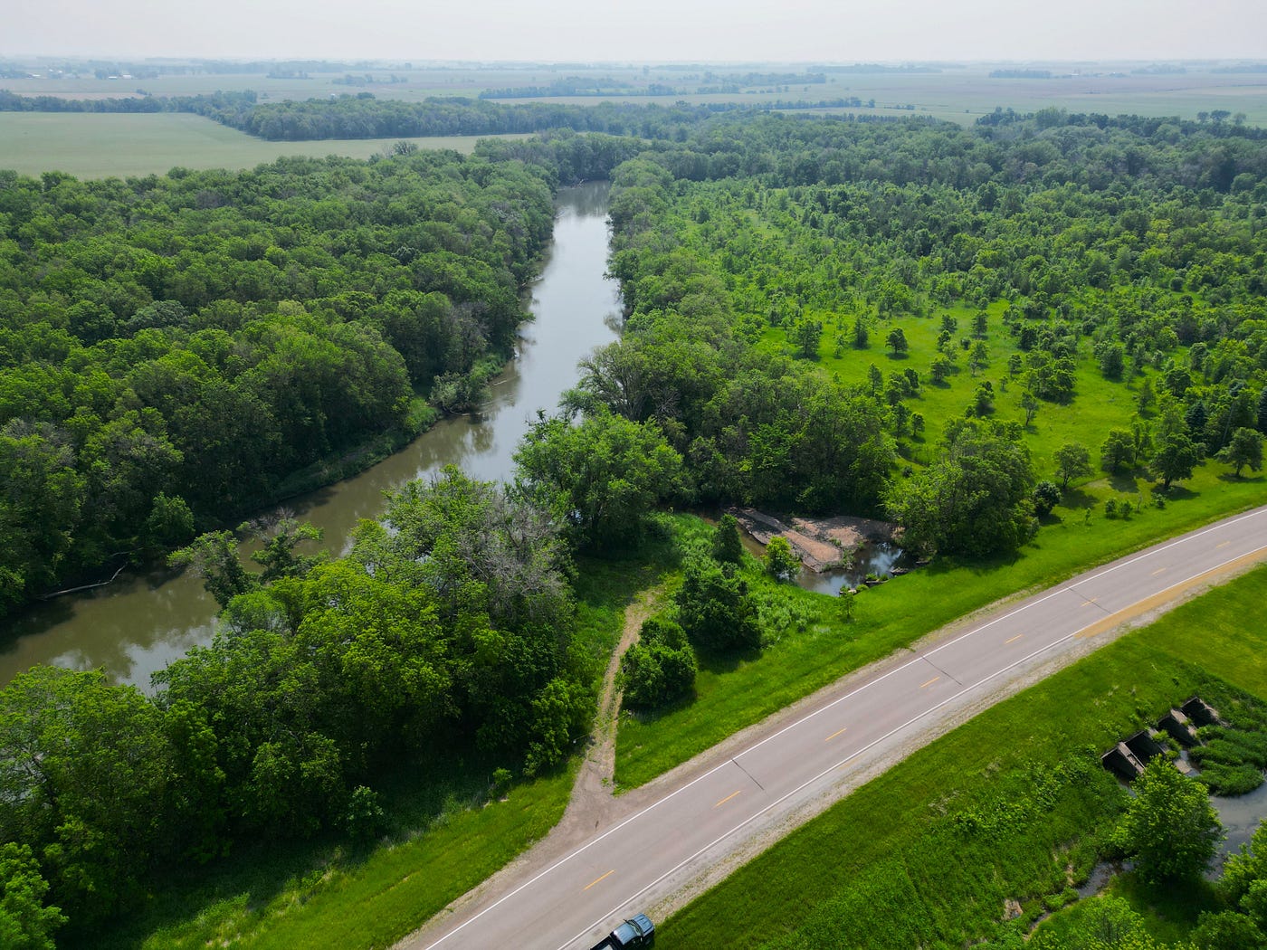
Drone view above the Cedar River State Water Trail in October 2020 of the stretch along the future Orchard Creek access site.
메타데이터
- post_id
- 67acf4f2c79e
- slug
- major-paddling-access-planned-on-cedar-river-south-of-austin-67acf4f2c79e
- url
- https://medium.com/@cedarmn/major-paddling-access-planned-on-cedar-river-south-of-austin-67acf4f2c79e
- canonical_url
- https://medium.com/@cedarmn/major-paddling-access-planned-on-cedar-river-south-of-austin-67acf4f2c79e
- author_url
- https://medium.com/@cedarmn
- status
- ok
- fetched_at
- 2026-07-31 23:00:30