Ride at Green Corridor South
I rode from Bukit Merah to Bukit Timah and back
Ride at Green Corridor South
I rode from Bukit Merah to Bukit Timah and back
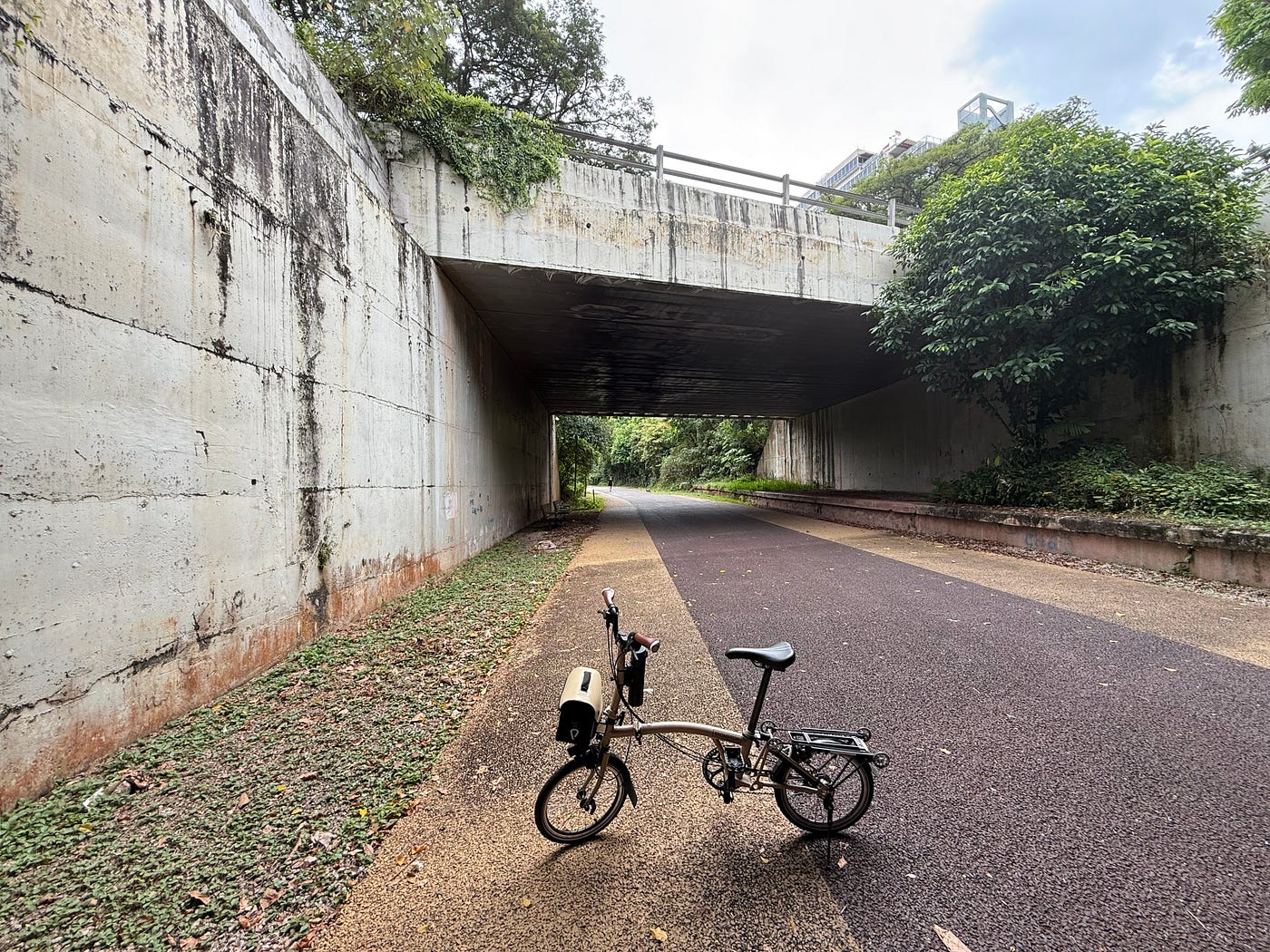
The Green Corridor is one of the best-known cycling paths in the central part of Singapore. More information can be found here if you are interested in the history of this track, which is based on the old railway tracks connecting Singapore and Malaysia:
https://railcorridor.nparks.gov.sg/visit-rail-corridor/
After some research, I decided to start my ride at Bukit Merah, rather than the Spooner Road access node, as I could then park my car in an HDB car park (which is cheaper than those closer to town). I plan to cycle to King Albert Park, visit a Brompton reseller shop (to buy a bag for my bike), and then loop back to Bukit Merah. The route is about 9.36km, so slightly less than half of the full path of the Green Corridor. I have found that the northern part of the Green Corridor is not fully completed, so there would be segments that you need to ride on gravel or an alternate parallel path provided by PCN. The Green Corridor ends at Kranji, and since the Kranji and Woodlands areas are less populated, it is probably reasonable that it has less priority to be developed.
So, here is the route I took:

And here are the ride stats:

This is a rather comfortable ride except for some segments of the route, where the track has some unevenness or some gravel. I could cycle almost 100% of the track without stopping. Do note that the maximum speed allowed on the Green Corridor is supposed to be 10km/h, but I suppose most cyclists are moving faster than that when there are not many people walking along the path.
Here is the Strava 3D Flyover from Bukit Merah to Bukit Timah:
[embed]
I stopped for a photo at the Portsdown Avenue flyover now that it is lit up. It used to be pitch black in the past, and if you did not have lights, it would be a challenge to cycle through quickly.

I also stopped at the former Bukit Timah Railway Station for a photo session:

And here is just how green the Green Corridor looks:

I visited the King Albert Park Mall for a toilet break and bought a medium messenger bag for my bike. I strapped my new bag over my back to cycle back.
Here is the Strava 3D Flyover from Bukit Timah back to Bukit Merah.
[embed]
If you're interested in these routes on Strava, here they are:
For this ride, I exported these routes as GPX files and imported them into Komoot. Then I run Komoot on my phone for turn-by-turn (TBT) navigation to guide me. I didn’t need the navigation assistance, but I wanted to see how well Komoot can provide the TBT navigation. I used my Apple Watch Ultra to record the cycling session (and import the ride information into Strava), and Komoot also provided voice navigation assistance via my Bluetooth headphones. Overall, it worked better than I thought, though it failed to update the display properly during one of the segments of my ride. Overall, it is still satisfactory (I paid for a world map that does not cover Singapore to enable the TBT feature).
Hope this ride is interesting to you. Thanks for reading my article.
메타데이터
- post_id
- 6edf45ccabe9
- slug
- ride-at-green-corridor-south-6edf45ccabe9
- url
- https://medium.com/@jangthye/ride-at-green-corridor-south-6edf45ccabe9
- canonical_url
- https://medium.com/@jangthye/ride-at-green-corridor-south-6edf45ccabe9
- author_url
- https://medium.com/@jangthye
- status
- ok
- fetched_at
- 2026-07-18 14:18:03