GISday @ Arup UK 2020
In Arup we use geographic information systems (GIS) technology to visualise, manage, analyse and collate data based on any location.
GISday @ Arup UK 2020
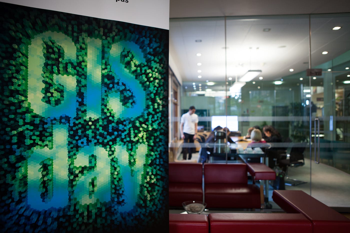
Midlands office first external GISday event with local schools.
GISday provides a forum for users of geographic information systems (GIS) technology to demonstrate real-world applications that are making a difference in our society.
The event has been celebrated in Arup offices for years inviting external attendees from local schools and Universities, other professionals, current and potential clients. This year we decided to create a UK-wide event to raise awareness about what GIS can do to support projects and what you may want to do with it for fun.
What will happen within Geography week?
We will be showcasing GIS use on projects in our Virtual Engage room. The website will go live on the 16th of Nov at the start of geography week. You will be able to see how our GIS specialists have used the geospatial technology to support projects in disciplines like ecology, water and rails to name only a few. We will also be showing a video of how GIS visualisations techniques can be used for fun (some interesting visualisation about Jimmy Hendrix by @Owenpowell).
On Wednesday the 18th November
On the actual GISday, we will run live sessions where some of our GIS specialists will be presenting to you how they supported projects with the use of Geospatial technology.
Below you will find the day’s agenda and links to sign to each session separately.
Agenda for the day
*What’s Mappening up North! at 10:00 GMT*
It’s not all Grim up North — the Northern Geospatial team has their finger in many pies, creating innovative solutions on many of the regions infrastructure and energy projects. This showcase will demonstrate the projects, the spatial problems and the techniques and software that we have used enable, enhance and automate projects. The team will show a range of applications from Large scale linear infrastructure, such as A96 where we have a massive suite of Geospatial solutions, to more specialised offshore wind energy analysis, through to utilising machine learning and spatial statistics to model UK wide decarbonisation, and finally to innovative data collection and presentation for the University of Glasgow.
Station Improvement Plan at 11:00 GMT
Transport for Wales Rail Services (TfWRS) appointed Arup to establish a Project Management Office (PMO) to deliver a works programme to improve the quality of 198 railway stations across the Wales and Cross Borders In order to support this the first activities Arup were engaged with were understanding the condition of station assets. The Digital Insight team were tasked with creating a digital workflow which would include each step of the data lifecycle from data collection on site through to QA in the office. As the project required the collection of data on site, the tool developed would need to have both mobile and browser functionality as well as being able to collect data without being connected to wifi.
A2 — Nature Based Catchment Management at 14:00 GMT
Northern Ireland Water’s (NIW) data is heavily used by Arup’s Belfast water team in the decision-making process for identifying key areas for new drainage development in association with a number of projects. A tool was created, using the NIW water network in conjunction with remote sensing data to automate this process, producing a webviewer for internal teams to identifying potential locations for the development of attenuation ponds to counteract the increased surface run off created by developments such as the A2 Buncranna Road improvements.
The Road Less Mapped: GIS as a Non-Geographer at 15:00 GMT
There is more than one route to get into the field of GIS, just like there is more to GIS than simple mapping and spatial analysis. Science and mathematics backgrounds are fundamental building blocks of so many aspects of GIS.
This session aims to explore the application of STEM subjects and mathematical algorithms to a number of geospatial functions and software and also highlight an alternative entry into GIS without having a geography background.
*About applying for Geospatial Graduate position at 16:00 GMT*
From Joe Stott, a Senior Recruiter overseeing Early Career recruitment for Infrastructure and GIS.
An opportunity to meet with Joe Stott, a Senior Recruiter who oversees Early Careers recruitment for Infrastructure and GIS. He’ll give an overview of the Graduate recruitment process including top tips on completing the application form, online test (Situation Judgement Questionnaire) & assessment centre. You’ll also have the opportunity to ask questions regarding the process.
Arup members Only *The Future of GIS in the Cloud — Atlas and ArcGIS Online at 12:00 GMT*
From David Edmends, a lead consultant specialising in Enterprise GIS in our London office.
Atlas is Arup’s ArcGIS Enterprise Portal new platform for sharing, exploring and downloading GIS data within Arup, discovering and building apps, and engaging with others to solve important issues. You can analyse and combine datasets using maps and visualisations, as well as develop new web and mobile applications. Learn about how to use Atlas and how it can be used to organise, perform, streamline, and showcase your work.
Find out more
For more information about the events please email GISDay-UK@arup.com
If you are interested in Geospatial Graduate position, we are recruiting now and you can find details of how to apply here.
To find out more about GIS in Arup check this website.
메타데이터
- post_id
- 7157eba4af3f
- slug
- gisday-arup-uk-2020-7157eba4af3f
- url
- https://medium.com/arup-digital-news/gisday-arup-uk-2020-7157eba4af3f
- canonical_url
- https://medium.com/arup-digital-news/gisday-arup-uk-2020-7157eba4af3f
- author_url
- https://medium.com/@sylwia-nikel
- status
- ok
- fetched_at
- 2026-07-28 17:41:00