How Satellite Data Is Being Used in Indian Agriculture
Agriculture has always depended on one thing farmers cannot control: nature. Rainfall, soil conditions, temperature, and crop health have…
How Satellite Data Is Being Used in Indian Agriculture
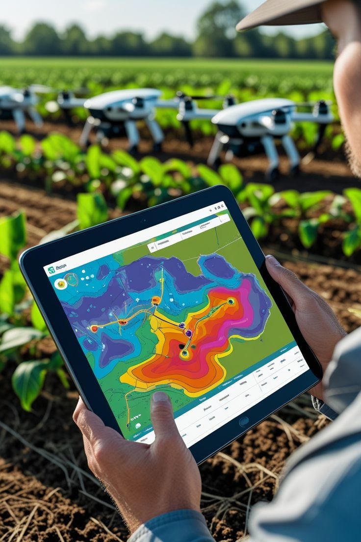
Agriculture has always depended on one thing farmers cannot control: nature. Rainfall, soil conditions, temperature, and crop health have traditionally been monitored through experience and observation. Today, satellites orbiting hundreds of kilometers above the Earth are giving Indian farmers a completely new perspective. By capturing detailed images and collecting valuable data, satellites are helping farmers make informed decisions, improve crop yields, conserve resources, and respond more effectively to changing weather conditions.
As India embraces digital agriculture, satellite technology is becoming an important tool in making farming smarter, more sustainable, and more resilient.
Seeing Farms from Space
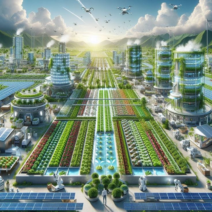
Satellite imagery provides a bird’s-eye view of agricultural land, allowing experts to monitor vast areas that would otherwise take weeks to survey on the ground. High-resolution images reveal information about crop growth, soil moisture, vegetation health, and water availability.
Unlike traditional field inspections, satellite observations are continuous and cover entire regions. This enables agricultural agencies, researchers, and farmers to identify problems early and monitor changes throughout the growing season.
For a country with millions of small farms spread across diverse climates, this broad visibility is transforming agricultural planning.
Helping Farmers Make Better Decisions
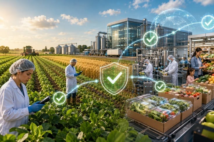
One of the biggest advantages of satellite data is precision farming. Instead of treating an entire field the same way, farmers can identify specific areas that need attention.
Satellite-based vegetation indices help determine whether crops are healthy or experiencing stress due to lack of water, nutrient deficiencies, or disease. This allows farmers to irrigate only where needed, apply fertilizers more efficiently, and reduce unnecessary expenses.
By combining satellite observations with weather forecasts and field data, farmers can make timely decisions about sowing, irrigation, pest control, and harvesting.
Improving Water Management
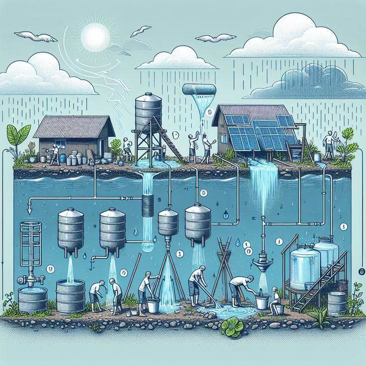
Water remains one of India’s most valuable agricultural resources. Satellite technology helps monitor reservoirs, groundwater recharge, soil moisture levels, and irrigation patterns.
With accurate information about moisture availability, farmers can avoid overwatering while ensuring crops receive sufficient irrigation during critical growth stages.
Government agencies also use satellite data to assess drought conditions, manage water distribution, and plan irrigation projects more effectively.
Supporting Crop Insurance and Disaster Management
Extreme weather events such as floods, droughts, cyclones, and hailstorms can devastate crops within hours. Satellite imagery enables authorities to quickly assess the extent of crop damage without relying solely on physical inspections.
This has significantly improved crop insurance assessments by providing faster and more transparent estimates of agricultural losses. Farmers receive claim processing support based on objective satellite observations, reducing delays and disputes.
Satellite monitoring also helps governments prepare for food shortages and plan relief measures following natural disasters.
Fighting Climate Change with Space Technology

Climate change is making weather patterns increasingly unpredictable. Satellite observations help monitor long-term changes in rainfall, temperature, vegetation cover, and land use across India.
Researchers use this information to identify vulnerable farming regions, recommend climate-resilient crops, and develop better adaptation strategies. Farmers benefit from early warnings about droughts, excessive rainfall, and heatwaves, allowing them to reduce potential losses.
The combination of satellite monitoring and climate forecasting is becoming an essential part of sustainable agriculture.
The Future of Smart Farming in India

The future of Indian agriculture lies in combining satellite technology with artificial intelligence, drones, Internet of Things (IoT) devices, and digital advisory platforms.
As these technologies work together, farmers will gain access to highly personalized recommendations based on real-time field conditions. This integration promises higher productivity, improved resource efficiency, lower production costs, and greater environmental sustainability.
With continued investment in digital agriculture, satellite data will play an increasingly important role in strengthening India’s food security and supporting millions of farmers across the country.
Satellite technology is changing the way Indian agriculture is managed by providing accurate, timely, and actionable information from space. From monitoring crop health and conserving water to improving disaster response and supporting climate resilience, satellite data is helping farmers make smarter decisions than ever before.
As digital farming continues to expand, the view from space is becoming one of the most valuable tools available on the ground.
— Bansi Joshi
메타데이터
- post_id
- 767627eb9bbb
- slug
- how-satellite-data-is-being-used-in-indian-agriculture-767627eb9bbb
- url
- https://hanomatimes.com/how-satellite-data-is-being-used-in-indian-agriculture-767627eb9bbb
- canonical_url
- https://hanomatimes.com/how-satellite-data-is-being-used-in-indian-agriculture-767627eb9bbb
- author_url
- https://medium.com/@bansihanoma
- status
- ok
- fetched_at
- 2026-07-09 01:49:10