Australia’s Shipwreck Coast
My Favorite Photos of a Very Scenic Shoreline, Part One
Australia’s Shipwreck Coast
My Favorite Photos of a Very Scenic Shoreline, Part One
All photos by David Wade Chambers.
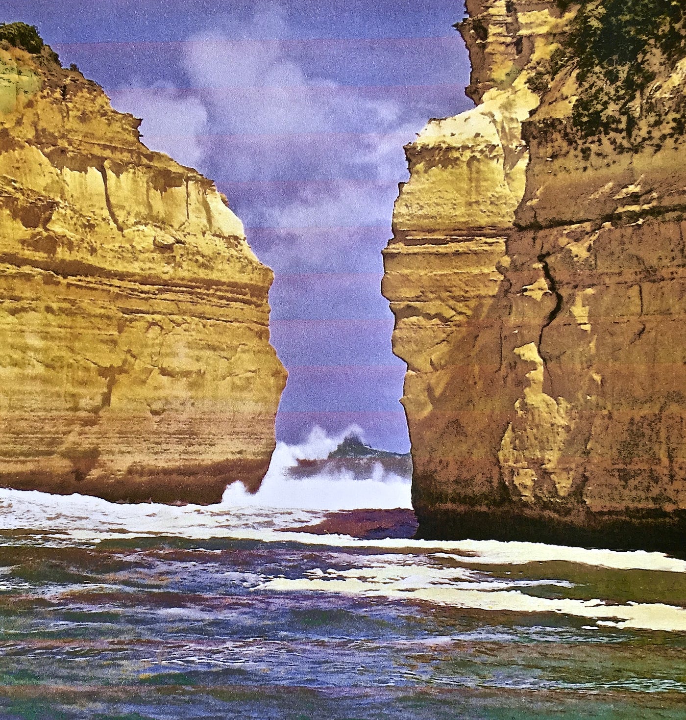
As you will appreciate, swimming in this narrow inlet can be exceedingly dangerous. On the day I dipped my toe into the water at this spot, I estimated the waves breaking against the massive cliffs to be at least 8 to 10 meters high. The power of the rip tide would likely pull a person far out to sea before slamming them back against the solid sandstone wall rising at least 30 meters above the surface of the water.

The Split Point Light is positioned in the small town of Aireys Inlet, where we lived for many years. The next seaside village to the East, is called Anglesea. The two towns are connected by a gravel track known as the Cliff-Top Walk.

If one chooses to follow the beach from Aireys Inlet around to Anglesea, it usually takes about twice as long due to the necessity of clambering over large boulders in some places and the temptation to study the plentiful tidal pools, including a full range of marine life: crabs, sea urchins, starfish, and seashells.

The Spit Point Light
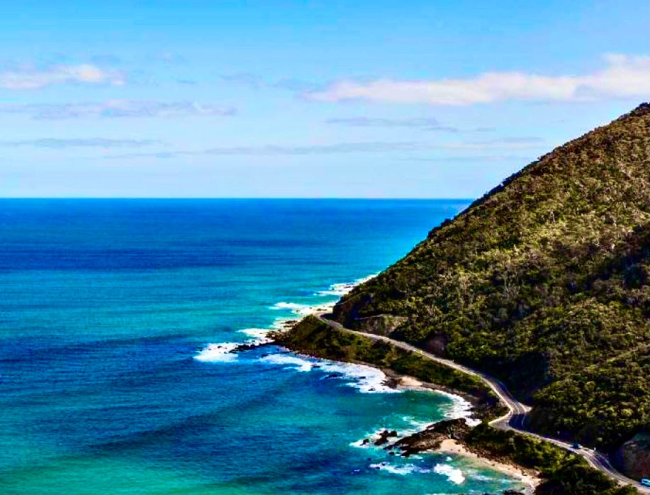
Stretching along the shore in the other direction from the lighthouse, the Great Ocean Road is located near the beginning of what is known as the Shipwreck Coast.

The photo above invokes a wonderful story I love to tell about my mother. On the last time she traveled here to visit her Australian family, we parked near this formation known as London Bridge. I suggested that we walk out across the two spans to access some of the most dramatic views to be found along the entire coastline.
Sadly, she refused this ‘chance of a lifetime’ even after I pointed out the two tiny human figures already between the two bridges. I then told her, voice dripping with sarcasm:
“Ya know, Mother, those huge stone support arches may indeed last only two or three more days or they may actually last two or three thousand more years, and I rather think it will be a little closer to the thousand year mark!”
Within a few days after she returned to America, I mailed her the photo below with a brief comment: “Love you, Mom”.
The entire left arch with all its natural stone underpinnings had vanished overnight.


The seemingly human figures in the photo above, situated on Point Roadknight, were sculpted by the ocean tides.


Between the small towns of Apollo Bay and Port Campbell are found the remarkable coastal formations known as the Twelve Apostles.

The Twelve Apostles can be more closely accessed near this point by an open stairway leading down from the clifftop to the beach.
메타데이터
- post_id
- a8a52b1fb8d9
- slug
- australias-shipwreck-coast-a8a52b1fb8d9
- url
- https://medium.com/weeds-wildflowers/australias-shipwreck-coast-a8a52b1fb8d9
- canonical_url
- https://medium.com/weeds-wildflowers/australias-shipwreck-coast-a8a52b1fb8d9
- author_url
- https://medium.com/@wadechambers
- status
- ok
- fetched_at
- 2026-08-19 14:21:17