EXPLORING SPATIAL VIDEO
This is a topic where I think most people are not aware of it. I work in the geospatial field, which has recently shifted slightly towards…
EXPLORING SPATIAL VIDEO
This is a topic where I think most people are not aware of it. I work in the geospatial field, which has recently shifted slightly towards one of my hobbies: videography.
In mid-2023 to early 2024, there was a force majeure event in several parts of our operational areas. It was huge and it had a significant impact on our operations, hence management instructed us to find a solution. One of my tasks is to document examined areas for further analysis using pictures or videos.
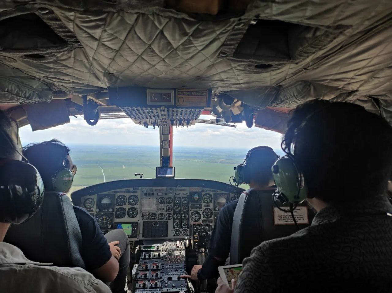
Now, on a monthly or weekly basis, I regularly create field reports for simple land-use change verification or potential area expansion. We utilize airborne platforms such as drones or helicopters to capture detailed portray of the landscape, allowing us to comprehend what is really present at the designated coordinates from a desk study analysis. Often, these are just boring reports with fancy transitions and animations. It is not my style, but I do it anyway.
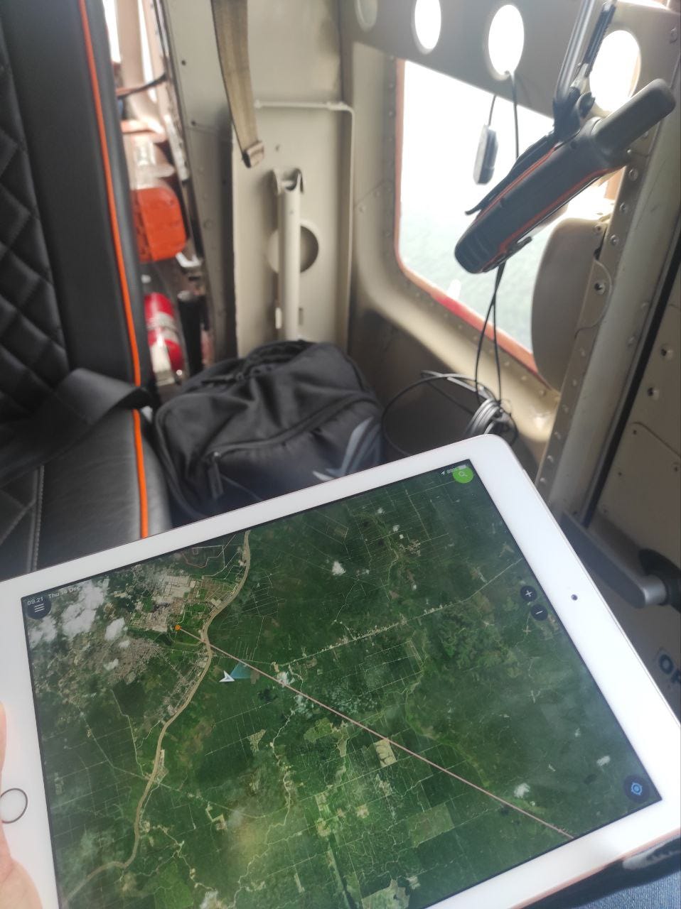
Aerial Survey
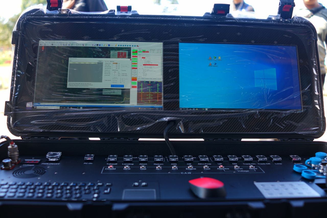
Ground Control Station
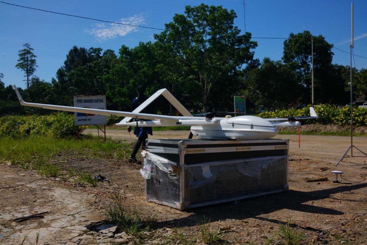
Long Range UAV
I began to realize what I have to do now when I have to post-pro the field data generated from video to be presented in PowerPoint. We need to take screenshots, attach them to PPT slides, narrate them, and add key information beforehand. Depending on how the operational director responds to the report, we need to adjust it based on his preferences. If it doesn’t need to be escalated to higher boards, I always try to push for live data presentation.
It’s like serving food fresh from the kitchen without garnish — the taste is the same, but it’s not as visually appealing. There is also the option of dashboards, but I think they work only for certain types of data. Once again, the concept of live data presentation is like live cooking — it doesn’t really depend on the dish being cooked because even scrambling eggs can be compelling with a prominent cooking style.
Back to the main topic, as I dug up all the resources possible to what I thought was capable, I found a method that creates videos which are Geographic Information System-ready. This means we can expand our analysis within our comfort zone. Rather than interpolating all the visible objects in the footage with a reference scale (if present), we can actually get metric aspects because the metadata allows us to do so. It’s called Full Motion Video. In simple terms, it’s like georeferencing but for video. It’s a synchronized video with telemetry data, allowing us to trace back the footage coordinates frame by frame, measure all the objects, calculate various aspects, and explore other possibilities.
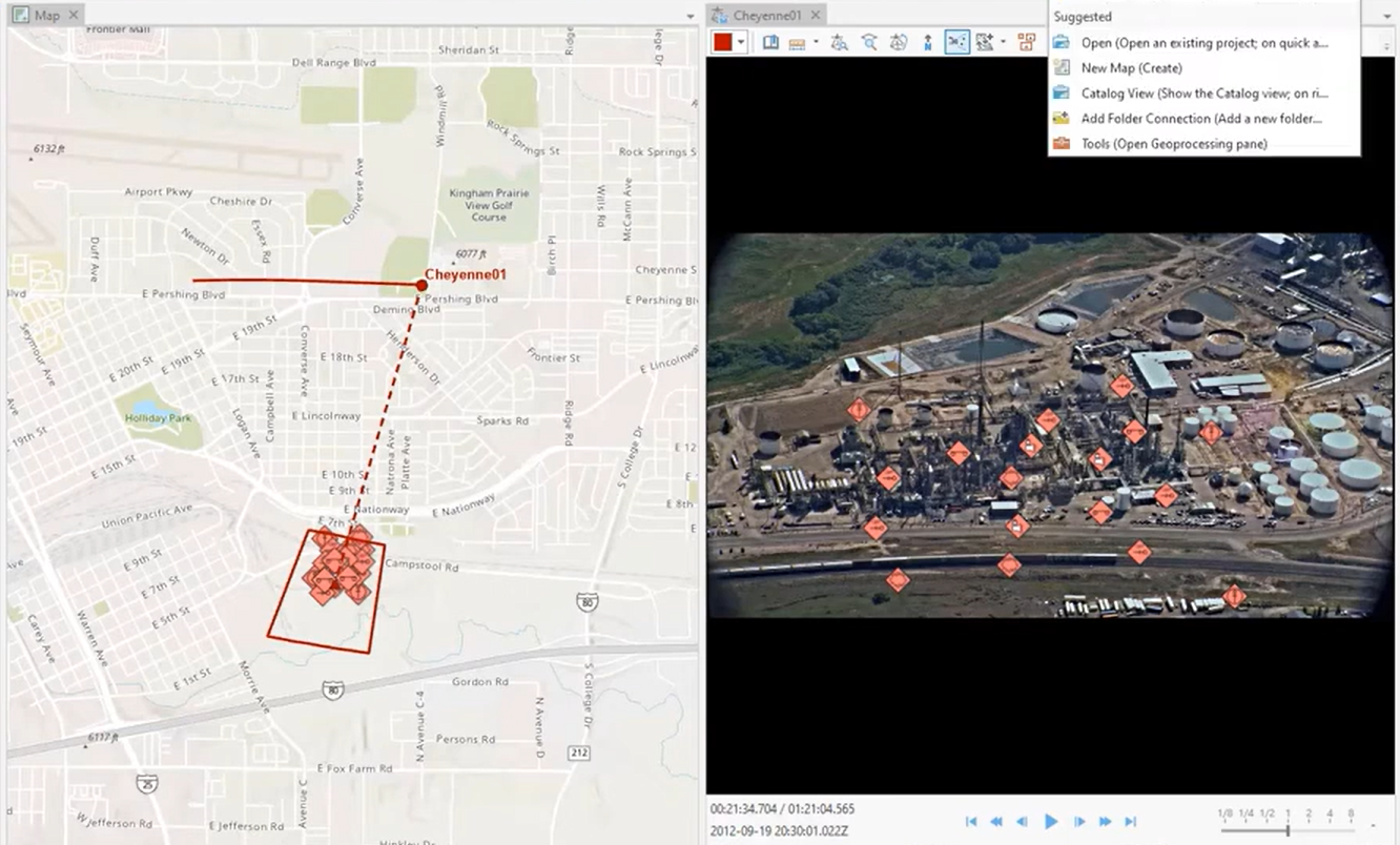
This is not new technology but not really mainstream because it must fulfill specific compliants. Now, with technological advancements, things can be much simpler. As long as the telemetry records a few specific parameters and then puts it in a multiplexer module that acts as a translator and synchronizer, we can produce this kind of data. Storytelling will be more comprehensive and easier, as we can expand beyond the usual method with pictures. I believe the adage that a picture speaks a thousand words, and with video, I think you can multiply it by another thousand. It has huge potential, and we’ll see what other technology may evolve with this method.
Additionally, my previous work in producing navigation data also dealt with this type of workflow but with the company’s customized software, which cannot be easily applied elsewhere. However, I can still benefit from it since the important aspect is the workflow.

메타데이터
- post_id
- b341bf809136
- slug
- exploring-spatial-video-b341bf809136
- url
- https://medium.com/@SierraDua/exploring-spatial-video-b341bf809136
- canonical_url
- https://medium.com/@SierraDua/exploring-spatial-video-b341bf809136
- author_url
- https://medium.com/@SierraDua
- status
- ok
- fetched_at
- 2026-06-26 03:39:16