Speed and Precision: The Modern Drone Survey Company
Technology is changing how we understand land. For a long time, traditional surveying required boots on the ground, tripods, and sometimes…
Speed and Precision: The Modern Drone Survey Company
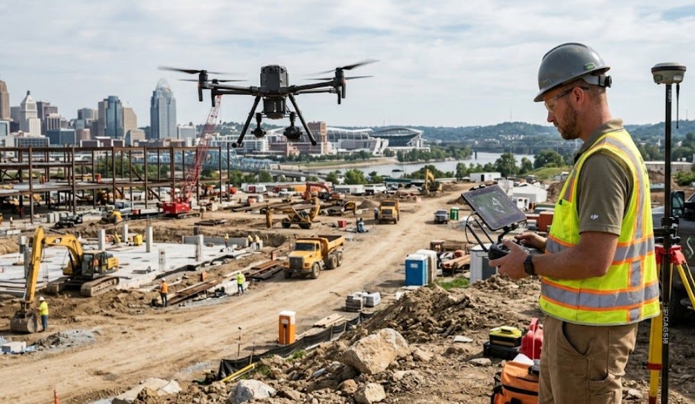
Technology is changing how we understand land. For a long time, traditional surveying required boots on the ground, tripods, and sometimes weeks of meticulous data collection. It was necessary but often slow and expensive. Today, a modern drone survey company can map vast areas quickly, giving developers and homeowners faster answers than ever before. If you are starting a building project, accurate boundaries and topographical maps are your first priority. Skipping this step, or rushing it, can cause major headaches, expensive legal battles, and delays down the road.
Aerial surveying isn’t just about taking pictures from the sky. It’s about using precision instruments. Advanced drones are equipped with LiDAR or high-resolution cameras, turning raw visual data into detailed, accurate three-dimensional models. These digital maps help contractors estimate earthwork with confidence and allow architects to design structures that perfectly fit the natural terrain. The old way of mapping large, rugged, or busy sites is giving way to this safer and more efficient approach.
Mapping Rugged Terrain and Busy Sites
One of the biggest challenges for traditional crews is rough, overgrown land. Think of steep, muddy slopes or dense brush. Trying to get accurate elevation points every few feet on that kind of ground is dangerous and incredibly time-consuming. A drone survey company can fly right over those obstacles. They can cover hundreds of acres in a single day, gathering precise data points that would take a ground team weeks to collect. This isn’t just about saving time; it’s also about safety, removing the need for surveyors to navigate hazardous areas.
The same advantage applies to busy construction sites. Having people and delicate equipment on the ground in the middle of active machinery is a constant safety concern and can interrupt work. Drones can capture progress photos and update site maps from above without stopping a single bulldozer. They can monitor stockpile volumes, track equipment placement, and even identify potential safety issues that aren’t obvious from the ground.
Smart Planning for Property Owners
For property developers and large landowners, drone technology changes how feasibility studies are done. You can quickly see drainage patterns across a entire property, identify optimal building locations, and visualize how a development will fit into the surrounding landscape. These detailed maps make the zoning and permitting process much smoother. When you approach a planning board with a highly accurate, 3D model of your proposed project, it demonstrates competence and helps everyone understand your vision.
Even for single-family homeowners planning to build on a large lot, a detailed aerial view can be a game-changer. You might realize your ideal house spot is too close to a protected wetland, or that a hidden slope will require an expensive retaining wall. Discovering these things early, before you pour a foundation, is invaluable. A survey provided by a reputable drone survey company helps you make informed decisions, protecting you from unexpected costs and potential regulatory pitfalls.
Conclusion
Whether you are developing a new subdivision, constructing a commercial building, or finally building your dream home, accurate mapping is where you must start. The integration of technology in land surveying isn’t a fad; it is a fundamental shift toward better, faster, and safer data collection. Leveraging the expertise of a professional drone survey company can streamline your planning process, keep your project on schedule, and provide a level of detail that old-world methods simply can’t match. Don’t start digging until you have a clear, accurate understanding of your land. Contact your local land surveying professionals to see if a drone survey is the right choice for your next project.
메타데이터
- post_id
- b822ec5ccd74
- slug
- speed-and-precision-the-modern-drone-survey-company-b822ec5ccd74
- url
- https://medium.com/@LandSurveyExperts/speed-and-precision-the-modern-drone-survey-company-b822ec5ccd74
- canonical_url
- https://medium.com/@LandSurveyExperts/speed-and-precision-the-modern-drone-survey-company-b822ec5ccd74
- author_url
- https://medium.com/@LandSurveyExperts
- status
- ok
- fetched_at
- 2026-08-02 22:51:16


