Previous Historical Satellite Images of Beijing City
Old Time of Beijing City
Previous Historical Satellite Images of Beijing City
Old Time of Beijing City
From 2007 to 2009, Beijing, the capital of China, experienced significant development and global recognition. In 2008, Beijing hosted the Summer Olympic Games, a milestone event that showcased the city’s modernization and cultural heritage. Iconic venues like the Bird’s Nest (National Stadium) and the Water Cube (National Aquatics Center) became symbols of the city’s transformation. The Olympics also spurred infrastructure development, including new subway lines, highways, and the expansion of Beijing Capital International Airport.
During this period, Beijing balanced its rapid urbanization with efforts to preserve its historical landmarks, such as the Forbidden City and the Great Wall. The city also promoted environmental initiatives, improving air quality and reducing pollution for the Olympics. Economically, Beijing grew as a technology, finance, and international trade hub. The city’s population expanded, reflecting its rising importance on the global stage. Overall, 2007–2009 marked a pivotal era in Beijing’s history, blending tradition with modernity and establishing it as a world-class metropolis.

2007 historical satellite images of the target area of Beijing City

2008 historical satellite images of the target area of Beijing City

2009 historical satellite images of the target area of Beijing City
"what's the use of the Historical Satellite Images?"Historical satellite images play an important role in urban management. By comparing changes, we can intuitively analyze urban expansion, land use change, and planning implementation and provide a basis for scientific decision-making. In house demolition and land disputes, satellite images can be used as objective evidence to clarify land ownership and architectural history and use and reduce disputes. In legal proceedings, historical images can provide authoritative evidence, support the solution of land occupation and illegal construction, and improve the efficiency and fairness of urban management.
"what time of the historical satellite images do you have?"We can offer satellite images from the 1960s to the present. You can get very high-resolution satellite images for the data from 1970 to 1984 and from 2000 to the present. The clarity is enough to see the houses, roads, fields, and trees.
"How to buy historical satellite images?"Please send your requirements to accpxdj@gmail.com or leave a message on our **website**. We will reply to you ASAP.
Email: "accpxdj@gmail.com"
WebSite: "www.o-map.cn/en.html"
0.6m historical satellite image taken by QB

0.5m historical satellite image taken by WV2

1m historical satellite image taken by IKONOS
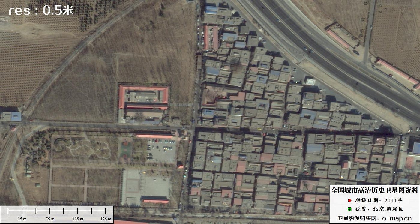
0.5m historical satellite image taken by WV2

0.5m historical satellite image taken by GeoEye

0.5m historical satellite image taken by KHD3C
메타데이터
- post_id
- bbb2ac91aaef
- slug
- previous-historical-satellite-images-of-beijing-city-bbb2ac91aaef
- url
- https://medium.com/@accpxdj/previous-historical-satellite-images-of-beijing-city-bbb2ac91aaef
- canonical_url
- https://medium.com/@accpxdj/previous-historical-satellite-images-of-beijing-city-bbb2ac91aaef
- author_url
- https://medium.com/@accpxdj
- status
- ok
- fetched_at
- 2026-07-22 23:32:06