The Real Limits of Your Property
You buy a house and take a look out back. You see a wooden fence, a concrete curb or a line of oak trees. You assume those visual markers…
The Real Limits of Your Property
You buy a house and take a look out back. You see a wooden fence, a concrete curb or a line of oak trees. You assume those visual markers show where your land ends.
That assumption is often wrong.
Fences move over time. Previous owners put up wooden structures wherever it felt easy to dig post holes. Neighbors cut grass past their actual property edges for years without knowing it. Physical markers in your yard do not hold legal weight. Real property edges exist on recorded maps and deed documents in public records rooms.
A proper Boundary survey locates those exact legal edges on the ground. It gives you clear facts before you start digging or signing closing papers.
Dense Urban Layouts and Historic Deeds
Building or renovating across our capital region brings unique challenges. Our historic urban corridors feature tight residential lots and shoulder to shoulder brick row houses. Many of these buildings share brick party walls built in the late nineteenth century.
In dense neighborhoods, space is tight and land is expensive. A mistake of just three inches can push a new rear addition over your line. Roof eaves can cross into neighboring air space. Shared alleyways and footpaths behind row houses frequently spark heated arguments when someone builds a parking pad or sets up a privacy wall.
Outside the urban core, older suburban lots present different obstacles. Land deeds recorded decades ago often rely on outdated measurement units like rods or chains. Some old documents reference landmarks that disappeared long ago, such as a pile of rocks or an ancient elm tree.
The soil across our river valley terrain shifts as well. Heavy spring storms and clay ground move buried metal markers over time. You need a qualified Land Surveyor to research those old records and calculate exact modern coordinates.
Local Permit Rules and Zoning Restrictions
Local municipal offices do not allow guesswork when you apply for construction permits. Building codes in our region enforce strict setback distances from property edges.
If you want to construct a garage, add a covered patio or install a swimming pool, city inspectors require official proof of your lot edges. They want to see exactly where your proposed structure sits compared to your legal boundaries. Submitting a hand-drawn sketch will result in a quick permit rejection.
Easements also hide on many urban and suburban properties. Public utility companies hold rights to run water pipes, gas lines and electrical conduits beneath private yards. You cannot build permanent structures over a registered utility easement. Finding these restricted zones early keeps your project compliant with city building codes.
When You Need Official Measurements
You do not need legal property reviews for basic garden work or planting flowers. Certain major milestones make professional help essential.
First, get your lot checked before buying a home. Standard title checks reveal financial liens, but they do not show physical land encroachments. You want to know if the seller’s garage sits on the neighboring parcel before you complete the purchase.
Second, get a review before putting up a fence or adding a driveway. Building a fence two inches over your line gives your neighbor legal grounds to demand its removal. You pay for materials twice and ruin your relationship with the person living next door.
Third, order a review if you plan to divide a larger plot of land. Dividing a parcel requires precise split lines that satisfy local zoning rules and planning board regulations.
The Heavy Cost of Guessing
Skipping legal land checks to save money upfront is a bad financial gamble.
Imagine paying ten thousand dollars for a custom cedar fence. The installation crew finishes the job, and it looks great. A month later, your neighbor hires a professional to check their lines before building a shed.
The official report shows your new fence sits a foot inside their property line.
Now you have to hire a crew to tear down the fence. You lose your initial labor investment, waste materials and face legal fees if the dispute escalates. Taking proper steps at the start avoids those expensive headaches entirely.
Property fights drain your bank account fast. Judges rely on signed legal drawings, not personal memories or old fence lines. Having a stamped map gives you the proof you need to defend your property rights.
How the Field Review Works
Getting your land measured involves much more than someone walking around with a tape measure.
The job starts in public record offices. Field researchers examine recorded land deeds, historical maps and utility right of way documents. They look for overlapping land claims and old access agreements.
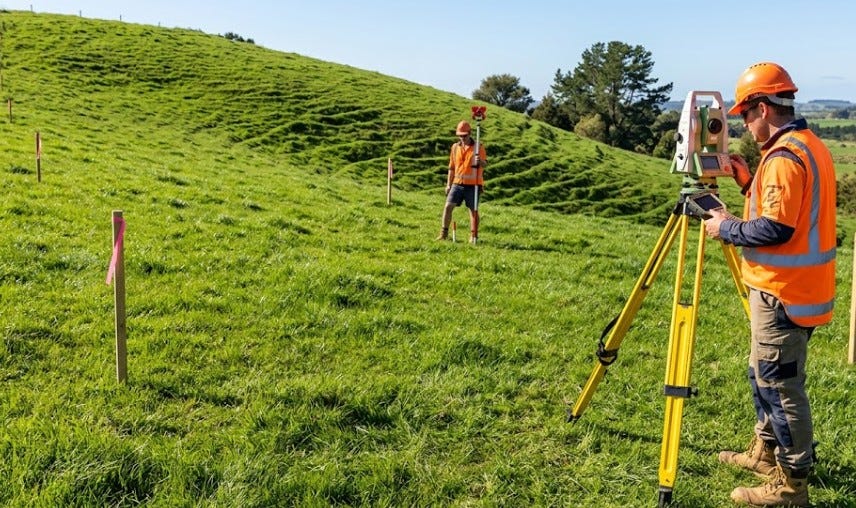
Next, a field crew visits your site. They bring advanced tools like satellite GPS receivers and electronic distance meters. These tools measure angles and distances with extreme precision.
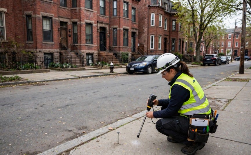
The crew searches for original metal pins or concrete markers buried beneath the surface. If those original pins are missing, they place new steel rods at the true corners.
They finish by creating a detailed official drawing. This document stands up in court, satisfies lender requirements and gives you the exact facts you need to move forward safely.
Protecting Your Property Rights
Your real estate is likely your largest financial asset. Protecting it requires real facts rather than quick assumptions.
Before you pour concrete, set fence posts or close on a new property deal, speak with a local professional. Getting accurate details today saves you time, money and stress down the road.
메타데이터
- post_id
- bdbe7e6ce58a
- slug
- the-real-limits-of-your-property-bdbe7e6ce58a
- url
- https://medium.com/@LandSurveySpecialists/the-real-limits-of-your-property-bdbe7e6ce58a
- canonical_url
- https://medium.com/@LandSurveySpecialists/the-real-limits-of-your-property-bdbe7e6ce58a
- author_url
- https://medium.com/@LandSurveySpecialists
- status
- ok
- fetched_at
- 2026-08-10 12:36:26