Claude AI Can Now Interpret Satellite Imagery — And It’s Coming for Remote Sensing Analysts
From pixels to insight: how foundation models are reshaping satellite image analysis and challenging traditional GIS pipelines.
Claude AI Can Now Interpret Satellite Imagery — And It’s Coming for Remote Sensing Analysts
From pixels to insight: how foundation models are reshaping satellite image analysis and challenging traditional GIS pipelines.
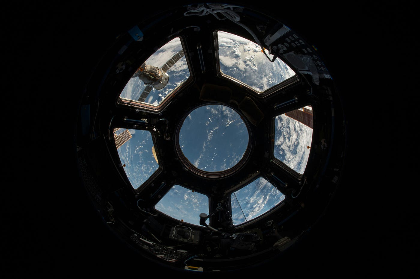
There is a particular kind of expertise that takes years to cultivate. The remote sensing analyst who can look at a multispectral satellite image and read it the way a doctor reads an X-ray — identifying crop stress before it becomes crop failure, detecting illegal construction along a protected coastline, spotting the thermal signature of a clandestine weapons cache — has long occupied a niche that seemed safely beyond automation’s reach. The work requires domain knowledge, pattern intuition, and contextual reasoning that purely mechanical systems simply couldn’t replicate.
That assumption is now being stress-tested at scale.
In March 2025, Planet Labs — the company that operates one of the largest commercial Earth observation constellations in history, imaging the entire planet daily — announced a formal partnership with Anthropic to deploy Claude on its geospatial data pipeline. The goal: to turn raw satellite imagery into actionable intelligence automatically, at a speed and scale no team of human analysts could match. It is one of the most consequential AI deployments in the geospatial industry’s history, and it signals something that professionals in the field have been quietly watching with a mixture of fascination and unease: large language models with vision capabilities are arriving in remote sensing, and they are arriving fast.
The Partnership That Changed the Conversation
The Planet-Anthropic collaboration is not a research experiment or a proof-of-concept pilot. It is a production-grade integration designed to run Claude’s reasoning and pattern recognition capabilities across one of the largest continuous Earth observation datasets ever assembled. Planet’s constellation captures imagery of the entire Earth’s landmass every day, generating petabytes of visual data that no human analyst team could meaningfully process in real time. The partnership is designed to close that gap.
What makes the arrangement significant is not just the scale but the specific capability being deployed. Claude’s multimodal vision API — available across the Claude 3 and 4 model families — allows the system to accept images directly and reason about their contents with contextual depth. Unlike earlier computer vision systems that were trained to perform narrow classification tasks (identify a ship, count cars in a parking lot), Claude brings a generalist reasoning layer to visual interpretation. It can describe what it sees, explain what is anomalous, propose hypotheses about cause and effect, and produce natural-language reports — all from a satellite image.
Planet’s CEO Will Marshall framed the ambition bluntly: “From governments who can scan large areas for new threats to a smallholder farmer trying to improve crop yields, from firefighters in California to conservation NGOs in the Congo, this can help users get value from our data faster.” That statement quietly contained a seismic implication: the traditional bottleneck in satellite data utilization — the trained analyst who translates pixels into decisions — was being engineered around.
Anthropic’s leadership echoed the ambition from the model side, noting that Claude’s ability to identify and analyze patterns in complex geospatial data could operate at a scale and speed previously impossible. The partnership, in other words, is not just about automation. It is about enabling a category of analysis that was never feasible at all.
What Claude Can Actually Do With a Satellite Image
To understand what is at stake for the remote sensing profession, it helps to be precise about Claude’s actual capabilities. The Claude 3 and 4 vision models can accept up to 20 images per conversation on claude.ai and up to 100 via the API. They support multiturn image analysis — meaning a user can upload an image, ask follow-up questions, introduce new images for comparison, and build a running contextual analysis across a session. This enables iterative workflows that approximate, and in some ways exceed, the interaction patterns of a human analyst working through a dataset.
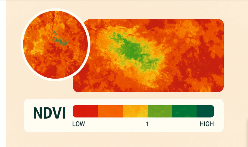
Practical applications in remote sensing already emerging include automated fire risk assessment from satellite imagery of properties and wildland-urban interfaces; near real-time deforestation monitoring, as demonstrated by Planet Labs’ own AI-powered detection of illegal logging in the Amazon; anomaly detection for infrastructure monitoring; crop health classification using multispectral indices; and maritime domain awareness, where AI models are now being used to track vessel behavior and flag dark ships operating without AIS transponders.
The NASA application is perhaps the most dramatic illustration of where multimodal AI is heading. In late 2025, Claude was used to help plan routes for the Perseverance Mars rover, with the AI analyzing orbital imagery of the Jezero Crater surface and generating traversal plans that were subsequently executed on Martian sols 1,707 and 1,709. The rover followed the AI-planned route with only minor deviations from autonomous navigation. If an AI can plan safe traversal routes on another planet from orbital imagery, the question of whether it can extract land-cover classifications from a Sentinel-2 tile starts to feel almost quaint.
The Analyst in the Age of Intelligent Machines
The honest question that emerges from all of this is not whether AI can do some of what remote sensing analysts do. It clearly can. The more consequential question is what happens to the profession as the capabilities continue to expand.
The pattern observed in comparable analytical professions is instructive. AI has not simply replaced data analysts wholesale; it has restructured the role. Routine pattern-finding, report generation, and anomaly flagging are increasingly automated, while demand grows for analysts who can design the AI-assisted workflows, validate outputs, interpret edge cases, and translate findings into strategic decisions. The value of human expertise is not disappearing — it is migrating toward its highest-order expression.
Remote sensing is likely to follow a similar trajectory, but the transition will not be uniform or painless. Analysts whose value proposition rests primarily on volume processing — classifying land cover across large tiles, producing standardized change-detection reports, manually digitizing features from imagery — face genuine exposure. These are precisely the tasks at which Claude-style multimodal AI excels: pattern recognition across large spatial extents, consistent output formatting, and rapid throughput. The automation risk for this tier of analytical work is real.
Where human analysts retain a durable advantage is in the interpretive depth that requires contextual knowledge beyond the image itself: understanding local political geography, recognizing when anomalies reflect sensor artifacts versus ground truth, integrating classified intelligence with open-source imagery, making judgment calls under ambiguity. These are not tasks that current AI handles well, and they are tasks that carry disproportionate strategic value for the organizations that employ remote sensing professionals.
The broader labor market data offers some reassurance — AI and data science specialists remain among the fastest-growing occupational categories, suggesting that human expertise retains market value even as AI automates adjacent tasks. But the transition requires the profession to actively redefine its value proposition, not wait for the disruption to crest.
The Ethical and Epistemic Stakes
There are dimensions to AI-driven satellite image interpretation that go beyond workforce economics. Remote sensing data is frequently used in high-stakes contexts: assessing battle damage after an airstrike, monitoring refugee movements, providing evidence in international legal proceedings, tracking compliance with arms control agreements. In these contexts, errors are not nuisances — they are potentially consequential at scale.
The limitations of current multimodal AI systems in geospatial contexts are real and need to be taken seriously. Claude’s documentation acknowledges a tendency toward hallucination and reduced accuracy with low-resolution, rotated, or very small images. Satellite imagery frequently presents exactly these challenges: low spatial resolution in multispectral bands, geometric distortions from off-nadir collection angles, cloud occlusion that requires the analyst to reason about what is likely hidden. The AI’s confidence in its outputs can be poorly calibrated relative to actual accuracy, a problem that is particularly dangerous in analytical workflows where downstream consumers are not equipped to audit the underlying image.
There is also the question of what analysts and AI systems each see differently. Humans bring local knowledge, source criticism, and a kind of epistemic humility — a trained awareness of how often the obvious interpretation is wrong — that is hard to encode in a model trained on general image-text pairs. The geospatial data supply chain of the future almost certainly needs AI in the loop, but it equally needs humans who understand both what the AI can and cannot see.
Conclusion
The arrival of Claude and comparable multimodal AI systems in satellite imagery analysis is not a distant threat or a speculative scenario. It is an unfolding operational reality, anchored by partnerships like Planet-Anthropic, NASA deployments on Mars, and a rapidly expanding ecosystem of AI-powered geospatial applications spanning agriculture, defense, maritime awareness, and environmental monitoring.
The remote sensing profession stands at an inflection point. The analysts who treat AI as a threat to be resisted will find themselves on the wrong side of a capability gap. The analysts who learn to work with these systems — understanding their strengths, auditing their failures, and applying human judgment where machines fall short — will find that their expertise has become more valuable, not less. The skill set of the future remote sensing professional is not narrower than what came before; it is different, and in important ways, richer.
The satellite is watching everything now. The question is who — and what — we trust to tell us what it sees.
메타데이터
- post_id
- c7265ce2a648
- slug
- claude-ai-can-now-interpret-satellite-imagery-and-its-coming-for-remote-sensing-analysts-c7265ce2a648
- url
- https://tierrainsights.buzz/claude-ai-can-now-interpret-satellite-imagery-and-its-coming-for-remote-sensing-analysts-c7265ce2a648
- canonical_url
- https://tierrainsights.buzz/claude-ai-can-now-interpret-satellite-imagery-and-its-coming-for-remote-sensing-analysts-c7265ce2a648
- author_url
- https://medium.com/@stephen-tierrainsights
- status
- ok
- fetched_at
- 2026-06-13 07:35:29