Irish Grasslands Under the Lens: How Drone Data Drives Decisions
What if you could spot trouble across hundreds of acres in minutes? That question sits at the heart of modern grassland management across…
Irish Grasslands Under the Lens: How Drone Data Drives Decisions
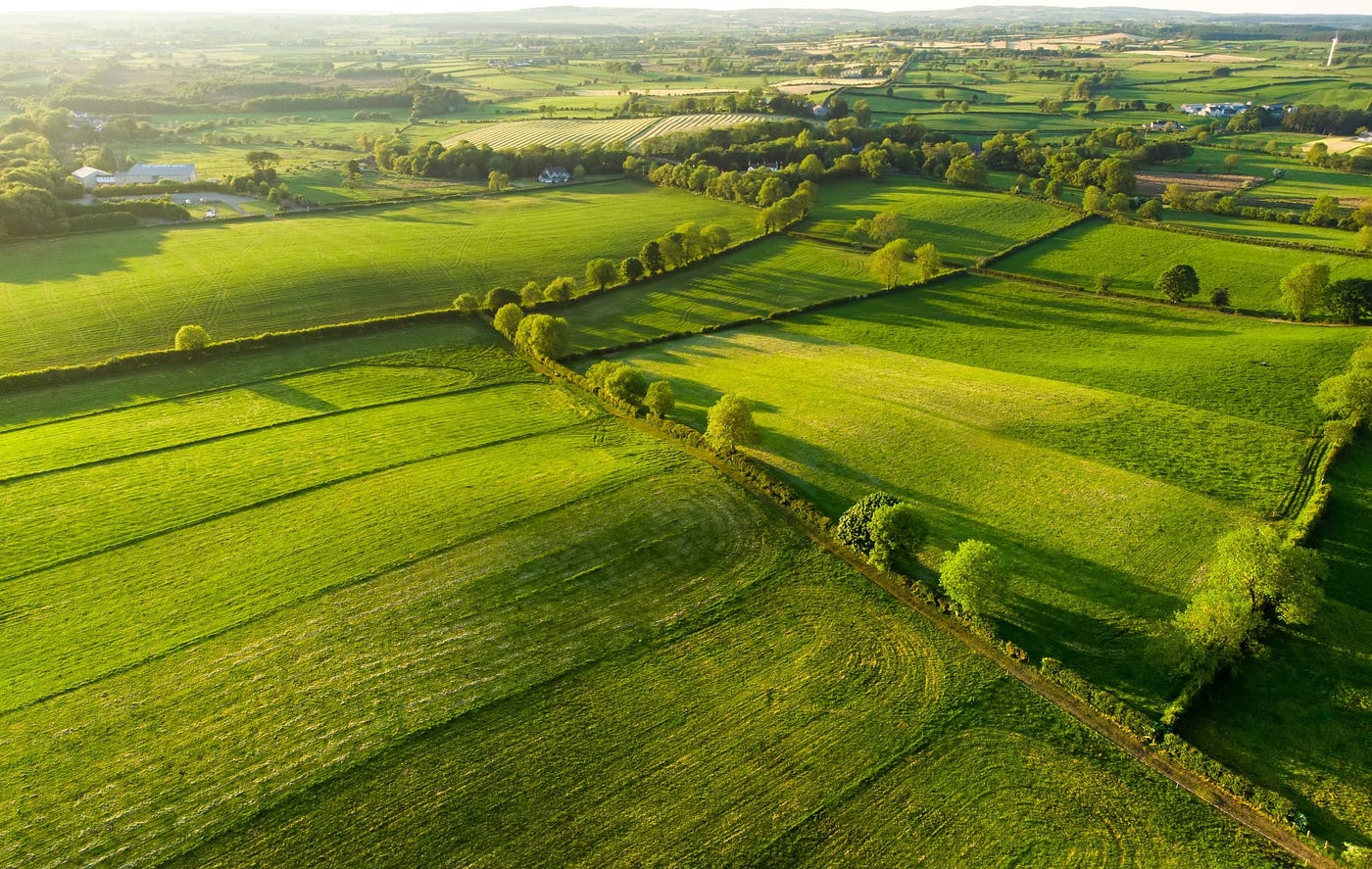
Aerial View of Irish Grasslands
What if you could spot trouble across hundreds of acres in minutes? That question sits at the heart of modern grassland management across Ireland, where farmers now rely on drone data to read their land with remarkable clarity.
Irish grasslands stretch across rolling fields, hedgerows, and uneven ground. Walking every section takes time. A drone flight, however, scans the entire field in one pass and delivers a detailed visual overview.
This shift is not about flashy gadgets. It is about faster awareness. Drone farming insights allow farmers to detect patchy growth, waterlogged areas, or nutrient imbalance before those issues affect productivity.
In a country where grass drives livestock performance, that early view matters. A drone turns the sky into a management tool and transforms Irish grasslands into data rich working landscapes.
Mapping Growth: How Drones Collect Key Data
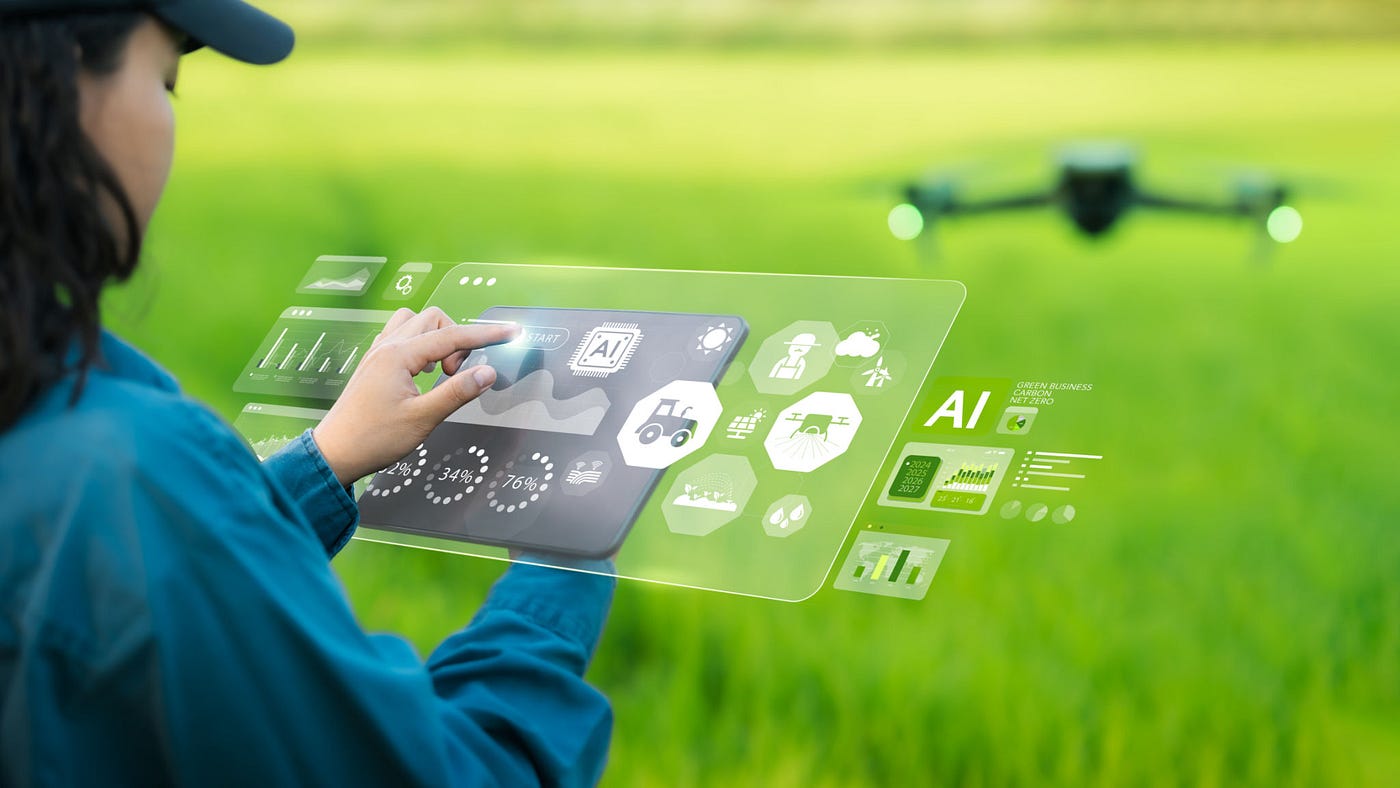
Every patch of grass tells a story and drones read it for you. By flying consistent routes above Irish grasslands, drones gather high resolution images that reveal subtle variations in growth, moisture, and plant health.
Many systems carry multispectral sensors. These sensors capture wavelengths beyond the human eye and translate them into vegetation indexes. The result is a visual map that highlights strong growth, stressed grass, and soil variability.
Imagine a dairy farmer in County Cork flying a drone over a 40 acre paddock. The processed image shows a darker green zone near a drainage line. That area reveals slower growth caused by excess moisture.
Drone data also identifies thin pasture sections where grass struggles to recover after grazing. Instead of guessing, farmers can pinpoint the exact location of those patches and address the root cause.
Some platforms combine aerial imagery with pasture height estimation. Algorithms compare plant density across images and estimate grass biomass. Farmers receive a clear picture of available forage across the entire farm.
This level of precision transforms pasture management. A field that once looked uniform now reveals dozens of small stories about soil health, growth cycles, and grazing pressure.
Smart Moves: Turning Drone Data into Action
Data is not useful until it drives your next move. That principle sits at the centre of precision agriculture, especially when managing productive Irish grasslands.
Consider grazing rotation. Drone data often shows uneven regrowth across paddocks. One section might have recovered quickly, while another still needs time. That insight helps farmers adjust the grazing schedule before livestock enter the field.
A beef farmer might notice that a southern paddock shows stronger grass growth compared to a shaded northern section. Instead of rotating cattle evenly, the farmer moves the herd toward the stronger paddock first.
Fertiliser planning also becomes more targeted. Drone images highlight areas with weaker chlorophyll activity. Those sections may require additional nutrients, while healthy zones can receive lighter treatment.
This approach reduces unnecessary fertiliser application. It lowers input costs and supports more sustainable pasture management across Irish farms.
Irrigation decisions follow the same logic. While Ireland receives regular rainfall, certain fields still experience localised dryness, especially during warmer spells. Drone imagery identifies those zones early.
A farmer reviewing drone farming insights might notice that a slope drains too quickly after rain. Instead of watering the entire field, irrigation targets that specific area.
Here is another example. A farm adviser reviewing drone data spots compaction marks from heavy machinery. That compacted soil restricts root development. The farmer schedules aeration only where the drone map indicates pressure.
Each of these decisions reflects the same principle. When farmers see their fields through reliable data, small adjustments replace broad assumptions.
Staying Ahead: Compliance Made Simple
Regulations do not have to be a headache. For Irish farmers navigating nitrates compliance, drone data provides a clearer picture of nutrient movement and pasture condition.
Ireland operates under strict nutrient management rules designed to protect water quality. Farmers must carefully monitor fertiliser use, slurry spreading, and grass uptake across their land.
Drone surveys help track how nutrients affect Irish grasslands in real time. Areas receiving slurry applications can be monitored for growth response and potential runoff risk.
For example, a drone flight after slurry spreading may reveal uneven absorption. Some sections show rapid growth while others remain pale. That contrast signals where nutrients may not be properly utilised.
Many modern platforms connect drone imagery to farm management dashboards. These dashboards display pasture growth maps alongside fertiliser records and weather data.
This combined view simplifies nitrates compliance reporting. Farmers can document how nutrients are applied and demonstrate responsible pasture management with clear visual evidence.
Alerts also play an important role. If drone data shows excessive biomass or nutrient concentration in certain areas, the system flags it early. Farmers can adjust fertilisation plans before regulatory limits become an issue.
Instead of reacting to paperwork at the end of the season, farmers maintain a continuous overview of nutrient balance across their grasslands.
The result is practical compliance. Farmers spend less time worrying about inspections and more time focusing on productive pasture management.
Results That Matter: Real World Wins
See the difference when data meets the field. Across Ireland, farms using drone data report measurable improvements in productivity, efficiency, and pasture health.
Take a mid sized dairy farm in County Limerick managing 120 acres of grassland. Before adopting drone monitoring, grazing rotations relied largely on visual checks and experience.
After introducing drone surveys every two weeks, the farmer identified several underperforming patches caused by drainage issues. Targeted drainage work restored grass growth in those areas within a single season.
Another example comes from a sheep farm in Galway. Drone data revealed that certain paddocks consistently produced lower biomass after grazing cycles.
Soil tests confirmed a nutrient imbalance. By correcting the fertiliser mix in those zones, the farmer increased pasture recovery speed and supported stronger lamb growth rates.
Cost savings appear quickly as well. When farmers apply fertiliser only where drone maps indicate need, input use often drops significantly. Even a small reduction per acre can create meaningful annual savings.
Healthier Irish grasslands also support better livestock performance. Consistent pasture quality leads to improved milk output, stronger weight gain, and more reliable forage availability.
Agricultural advisers increasingly rely on drone farming insights when advising clients. Instead of relying only on field walks, advisers review aerial data to identify hidden patterns across entire farms.
That wider perspective changes conversations. Discussions shift from general observations to precise recommendations supported by visual evidence.
For many farmers, the biggest advantage is confidence. Decisions feel clearer when backed by real measurements rather than rough estimates.
Takeaway: Make Every Decision Count
With the right data, every choice becomes smarter. Drone technology is not replacing the experience of Irish farmers. Instead, it strengthens that experience with clearer information.
Across Irish grasslands, drone data reveals patterns that were once invisible. Growth variation, soil stress, drainage issues, and nutrient response all become visible through a simple aerial survey.
These insights support better pasture management. Farmers can refine grazing rotations, apply nutrients precisely, and respond quickly when grass health begins to change.
Precision agriculture continues to evolve, but the core benefit remains simple. Better information leads to better decisions, and better decisions strengthen the entire farming system.
For Irish farmers balancing productivity, sustainability, and nitrates compliance, drone technology offers a practical path forward.
The fields are already speaking. With drones in the sky, farmers can finally hear every detail.
메타데이터
- post_id
- cfa9c59cc529
- slug
- irish-grasslands-under-the-lens-how-drone-data-drives-decisions-cfa9c59cc529
- url
- https://medium.com/@frankrogershere/irish-grasslands-under-the-lens-how-drone-data-drives-decisions-cfa9c59cc529
- canonical_url
- https://medium.com/@frankrogershere/irish-grasslands-under-the-lens-how-drone-data-drives-decisions-cfa9c59cc529
- author_url
- https://medium.com/@frankrogershere
- status
- ok
- fetched_at
- 2026-07-30 13:41:11