How to convert OSGB to 3DTiles with GISBox
Free on-premise cesium ion alternative
How to convert OSGB to 3DTiles with GISBox
Free on-premise cesium ion alternative
In recent years, with the popularity of oblique photography and 3D city models, OSGB and 3DTiles have become the main three-dimensional data formats in the GIS (geographic information system) field. However, in practice, the required data format varies depending on the project and platform, and there are more and more situations where conversion from OSGB to 3DTiles is required.
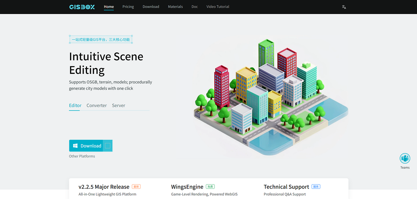
That’s where GISBox comes in. This free software realizes complex three-dimensional data conversion work with intuitive operations, significantly reducing the workload of GIS engineers. In this article, we will introduce in detail the conversion procedure from OSGB to 3DTiles format using GISBox and the benefits of introducing it.
🔧How to convert OSGB to 3DTiles with GISBox
✅Step 1: Select module and start a new conversion task Start GISBox and select the “Tile” module from the menu bar. Click [New] in the upper right corner to create a new conversion task.
✅Step 2: Select data type Select “Oblique photography reverse tile” on the left side of the task setting window. Here, set the input format to OSGB and the output format to 3DTiles. This allows for three-dimensional tiling of OSGB files.
✅Step 3: Import OSGB files Click the “Add file” button to load OSGB data stored locally. Multiple files can also be loaded at once, so you can rest assured even if there are many objects to process.
✅Step 4: Set output parameters and save destination Output format: 3DTiles (Cesium compatible)
Texture compression: On (ideal for high-speed web display)
Output path: Specify a folder for the project When the settings are complete, click “Create”.
✅Step 5: Start conversion When all settings are complete, press “Create”. GISBox automatically performs model cutting, hierarchical structure generation, texture optimization, etc.
💡Why choose GISBox | 4 main benefits
✔1. Completely free and high performance GISBox provides commercial-level functions for free. It is comparable to paid tools and can be used by a wide range of users from individuals to corporate users.
✔2. Stress-free operability The UI is very simple and intuitive. No complicated settings or scripts are required, and conversion is completed in just a few clicks. Even beginners can operate it immediately.
✔3. Achieving both processing speed and accuracy Multi-threading support allows smooth processing of large-scale OSGB data. The error rate is low, and the generated 3DTiles are highly accurate and displayed smoothly.
✔4. Excellent compatibility The output 3DTiles can be used as is on major platforms such as CesiumJS, FME, and WebGIS environments. Workflow consistency can be maintained.
📌 Summary
As the need for visualization and distribution of 3D geospatial data increases, mutual conversion between OSGB and 3DTiles is becoming increasingly important. GISBox is an ideal tool that is free, highly functional, and easy to use, and will be a powerful ally for engineers who want to improve the efficiency of conversion work.
GISBox Official Teams: https://teams.live.com/l/invite/FEAr12sInvEVy4hFQE Official Teams Group: https://teams.live.com/l/invite/FBAFp0pbqhqlpe1BQI
Contact us to get 7-day Team Plan
메타데이터
- post_id
- d7be7225bacd
- slug
- how-to-convert-osgb-to-3dtiles-with-gisbox-d7be7225bacd
- url
- https://medium.com/@gisbox/how-to-convert-osgb-to-3dtiles-with-gisbox-d7be7225bacd
- canonical_url
- https://medium.com/@gisbox/how-to-convert-osgb-to-3dtiles-with-gisbox-d7be7225bacd
- author_url
- https://medium.com/@gisbox
- status
- ok
- fetched_at
- 2026-07-19 06:55:06