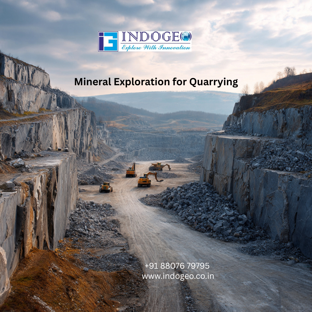
Mapping for Quarry Site Selection: A Complete Guide (2026)
From IndoGeo Pvt.Ltd ..
Mapping for Quarry Site Selection: A Complete Guide (2026)
From IndoGeo Pvt.Ltd ..

⭐ What Is Reconnaissance Mapping?
Reconnaissance Mapping is a rapid, preliminary field assessment carried out to understand the geological, geomorphological, environmental, and logistical suitability of a potential quarry site.
It provides an early-stage feasibility overview to decide whether the site is worth detailed investigation.
It focuses on:
- Rock type & quality
- Overburden thickness
- Accessibility & transportation
- Topography & drainage
- Environmental sensitivity
- Legal/land use constraints
- Distance to markets
- Safety risks
⭐ Why Reconnaissance Mapping Matters for Quarry Site Selection
Choosing a quarry site blindly can lead to:
- Low-grade rock material
- Excessive stripping cost
- Poor accessibilits
- High blasting risk
- Environmental violations
- Rejection of government permits
Reconnaissance Mapping prevents all these risks by providing a scientific preliminary assessment.
⭐ Key Objectives of Reconnaissance Mapping for Quarry Sites
✔ 1. Identify Suitable Rock Type
- Granite
- Limestone
- Basalt
- Sandstone
- Laterite
- Riverbed aggregate source
Each industrial material needs specific rock characteristics.
✔ 2. Determine Quality & Reserve Potential
- Rock strength
- Fracture pattern
- Weathering grade
- Mineral composition
✔ 3. Understand Geological Structures
Mapping faults, joints, fractures, and bedding planes is essential for safe excavation.
✔ 4. Evaluate Terrain & Drainage
Sites with steep slopes or poor drainage lead to operational hazards.
✔ 5. Environmental Feasibility
Checking proximity to:
- Forests
- Water bodies
- Habitations
- Protected areas
✔ 6. Accessibility & Transport
Road connectivity defines the cost of aggregate transport.
✔ 7. Compliance & Permit Viability
Many quarry proposals fail because they are located in restricted or sensitive zones. Early mapping prevents this.
⭐ The Reconnaissance Mapping Process (Step-by-Step)
Step 1: Remote Sensing & GIS Analysis
Before field visit, geologists analyze:
- Satellite imagery (Landsat, Sentinel)
- DEM/SRTM data for slope
- LULC maps
- Lineament analysis
- Geological maps
- Drainage & watershed maps
This helps shortlist promising locations.
Step 2: Field Walkthrough (Ground Truthing)
Experts inspect:
- Rock exposures
- Outcrop characteristics
- Fresh rock quality
- Fractures, joints, bedding
- Overburden thickness
- Waterlogging areas
Step 3: Preliminary Geological Mapping
Mapping includes:
- Lithology
- Structural features
- Weathered zones
- Potential quarry faces
- Haul road possibilities
Step 4: Environmental & Social Screening
Check for:
- Distance from houses (safety zone)
- Schools, temples, hospitals
- Water bodies
- Forest boundaries
- Noise and dust-sensitive areas
Step 5: Logistical Assessment
Includes:
- Road connectivity
- Haul route safety
- Availability of labor
- Market demand proximity
Step 6: Preliminary Feasibility Report
Prepared with:
- Map
- Findings
- Observations
- Suitability score
- Risk assessment
- Recommendations
This report decides whether to proceed with detailed geological and geotechnical investigation.
⭐ Tools & Technologies Used in Reconnaissance Mapping
🛰 Remote Sensing
Used for terrain, lineament, land use, drainage.
📍 GIS-Based Analysis
- Slope maps
- Buffer analysis
- Proximity mapping
- Digital Elevation Models
- Environmental layers
🚁 Drone/UAV Survey
Provides:
- High-resolution orthophotos
- 3D terrain models
- Accurate site conditions
🪨 Geological Field Tools
- Brunton Compass
- GPS
- Rock hardness hammer
- Field notebooks
- Hand lens
⭐ Benefits of Reconnaissance Mapping for Quarry Site Selection
✅ Reduces project risk
✅ Saves cost before detailed studies
✅ Identifies high-quality rock zones
✅ Avoids illegal or restricted areas
✅ Ensures environmental compliance
✅ Improves safety in excavation
✅ Helps in selecting high-yield quarry blocks
✅ Builds strong DPR & permit applications
⭐ Criteria for Selecting the Best Quarry Site
- Geological Suitability — right rock type, high strength
- Topography — suitable slope for safe excavation
- Environmental Clearance Potential
- Market Proximity
- Low Overburden Thickness
- Minimal Geological Hazards
- Strong Accessibility
- No proximity to sensitive zones
- Sustainable excavation potential
⭐ Common Mistakes in Quarry Site Selection (Avoid These!)
- Choosing land without professional geological screening
- Ignoring fracture pattern → leads to uneven breaking
- Starting quarry near habitation → legal issues
- Ignoring drainage → waterlogging & safety threats
- Overlooking environmental restrictions
- Skipping remote sensing/DEM analysis
Reconnaissance Mapping solves all these issues.
⭐ Conclusion
Reconnaissance Mapping is the foundation step in selecting a safe, economically viable, and environmentally compliant quarry site. With a combination of GIS, remote sensing, field surveys, geological mapping, and environmental screening, decision-makers can avoid costly mistakes and choose the most productive quarry location.
For mining companies, infrastructure developers, and landowners, early reconnaissance mapping is the smartest investment before starting a quarry project.
more information www.indogeo.co.in
메타데이터
- post_id
- e448805ccd07
- slug
- mapping-for-quarry-site-selection-a-complete-guide-2026-e448805ccd07
- url
- https://medium.com/@indogeo.org/mapping-for-quarry-site-selection-a-complete-guide-2026-e448805ccd07
- canonical_url
- https://medium.com/@indogeo.org/mapping-for-quarry-site-selection-a-complete-guide-2026-e448805ccd07
- author_url
- https://medium.com/@indogeo.org
- status
- ok
- fetched_at
- 2026-07-14 10:24:40