Texas Takes Shape Receives National Recognition from the American Association for State and Local…
The Texas General Land Office (GLO) is proud to announce that Texas Takes Shape: A History in Maps from the General Land Office has…
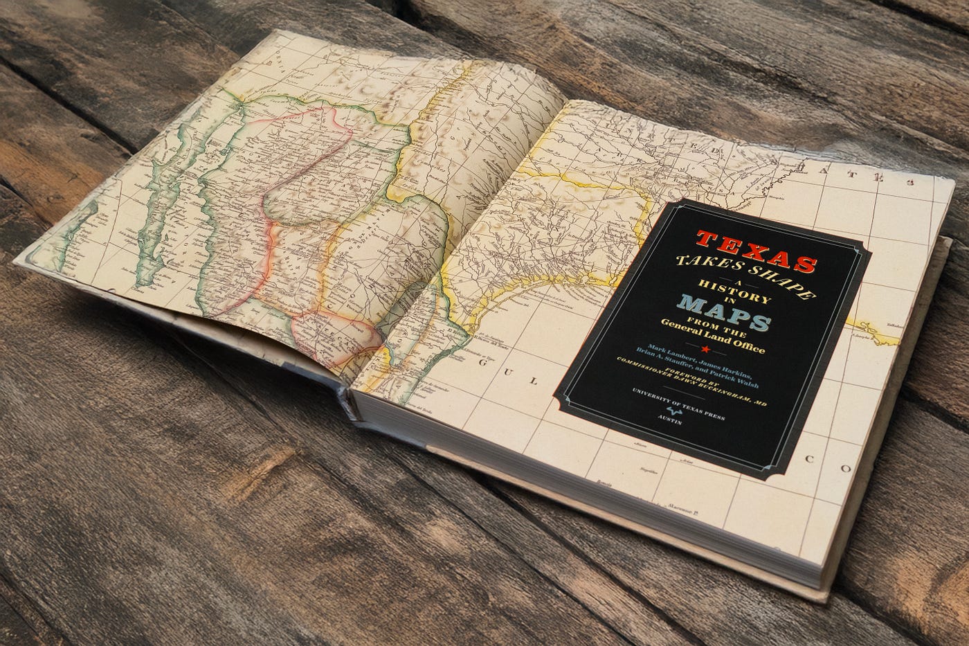
Texas Takes Shape: A History in Maps from the General Land Office is available from the GLO’s map store.
Texas Takes Shape Receives National Recognition from the American Association for State and Local History
The Texas General Land Office (GLO) is proud to announce that *Texas Takes Shape: A History in Maps from the General Land Office* has received an Honorable Mention in the Large Press category from the American Association for State and Local History (AASLH) Leadership in History Awards program. Recognized as the nation’s most prestigious competition honoring achievement in state and local history, the Leadership in History Awards celebrate outstanding projects that preserve and interpret our shared past.
The award will be presented during the 2026 AASLH Annual Conference in Providence, Rhode Island, where history professionals from across the country will gather to celebrate excellence in public history. The honor recognizes not only the book itself, but also the decades of research, preservation, and public outreach that made it possible. Written by GLO Archives staff and published in 2025 by the University of Texas Press, Texas Takes Shape tells the story of Texas through one of the GLO’s richest historical resources: its 45,000-piece map collection.
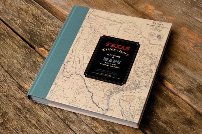

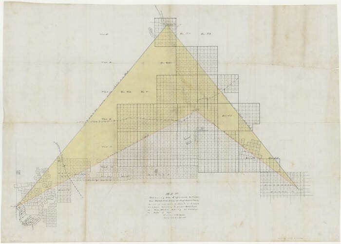
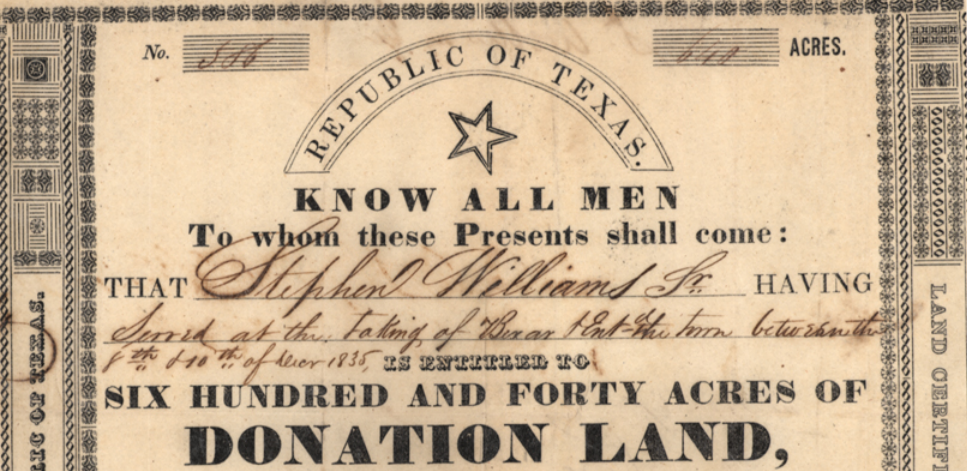
Texas Takes Shape is more than a beautifully illustrated volume showcasing over one hundred remarkable maps from the GLO Archives. Beneath its striking images lies a larger story. The book invites readers to rethink maps — not as static records of past events but as tools that actively shaped Texas history. Every map influenced how people understood the land, built settlements, drew boundaries, governed communities, and waged wars.
The authors argue that maps do not simply record history, they help create it. That idea guided the project and inspired the title. Texas Takes Shape refers both to the familiar outline of the state and to how cartography itself shaped Texas.
Although the book officially took six years to complete, its roots extend back much further. For nearly two decades, GLO Archives staff researched historic maps for exhibitions at the Witte Museum, the Houston Museum of Natural Science, the Bullock Texas State History Museum, and the George H.W. Bush Presidential Library and Museum. They also produced articles for the Save Texas History Program, created the Archives’ annual map calendar, and developed educational programs for audiences across the state.
The staff did more than preserve maps — they uncovered the stories behind them. Because the General Land Office created or preserved many of Texas’ most important maps, the Archives held a distinctive perspective on the state’s cartographic history. Recognizing an opportunity to share that knowledge, the authors approached the University of Texas Press in 2019 with a plan for a comprehensive history of Texas told through maps.
Soon afterward, the COVID-19 pandemic disrupted normal research practices. Fortunately, decades of digitization made much of the GLO’s collection available online. Using those resources, along with Texas Archival Resources Online (TARO), the Portal to Texas History, JSTOR, and digital collections nationwide, the authors continued research and writing remotely. What could have become a setback instead highlighted the value of long-term preservation and digitization.

John Arrowsmith, A Map of Texas, compiled from surveys recorded in the Land Office of Texas and other official surveys, London, 1841, Map #96435, Map Collection, Archives and Records Division, Texas General Land Office, Austin, TX.
Although four primary authors received credit, the final volume reflects the work of many contributors. The project began with a list of more than 225 maps drawn from the Archives’ collections. Each author focused on maps matching their interests and expertise while collaborating throughout the process. Some maps required only brief essays; others demanded deeper exploration because of the stories they revealed. The authors challenged one another’s findings, revised extensively, and edited each chapter to achieve a unified narrative voice. By the end, the book felt like a single cohesive story showing how maps shaped Texas.
One central theme is that maps reflect human choices. Cartographers decided what to include, what to exclude, where boundaries belonged, which place names to use, and what information to emphasize or obscure. Those decisions influenced exploration, diplomacy, settlement, transportation, military campaigns, and political development. Further, maps rarely emerge from one person’s work. Native American communities contributed generations of geographic knowledge. Explorers, surveyors, scientists, settlers, government officials, engravers, and printers added information over time. The result is more than a set of documents; each map becomes evidence of collaboration, negotiation, and evolving perspectives. The authors hope readers see maps as active participants in history, not mere illustrations.
The GLO Archives has long been recognized as one of the nation’s premier collections of historic maps documenting Texas and the American Southwest. Researchers have relied on these materials to understand land ownership, exploration, settlement, transportation, natural resources, and political development. The authors view Texas Takes Shape as part of a continuing scholarly tradition. Like previous landmark works, they hope this volume supports future historians, students, genealogists, and map enthusiasts. Rather than ending the story of Texas cartography, the book invites future generations to keep asking questions and discovering new stories within historic maps.

Jacob De Cordova, J. De Cordova’s map of the state of Texas compiled from the records of the General Land Office of the state, Houston, 1851, Map #442, TGLO.
Receiving recognition from the American Association for State and Local History represents an important milestone for both the publication and the GLO Archives. Since 1945, the AASLH Leadership in History Awards have recognized exceptional achievements in collecting, preserving, and interpreting state and local history throughout the United States. Each year, the organization honors projects that demonstrate excellence while inspiring future work across museums, archives, historical societies, universities, and cultural institutions.
Being selected for an Honorable Mention in the Large Press category places Texas Takes Shape among an outstanding group of publications advancing the public’s understanding of history. The recognition also reflects the GLO Archives’ mission to preserve the documentary record of Texas’ history while making those records accessible to researchers, educators, and the public. Historic maps remain some of the most powerful documents in the GLO Archives because they continue to reveal new stories with every generation of researchers. Texas Takes Shape reminds readers that maps are not static artifacts locked in the past. They are dynamic historical sources that influenced the events they depict and continue to shape how we understand Texas today.
In addition to the AASLH award, Texas Takes Shape has been recognized by other institutions. The Texas State Historical Association gave it the 2026 Ron Tyler Award for Best Illustrated Book on Texas History and Culture. The Sons of the Republic of Texas awarded it second place for the 2025 Presidio La Bahía Award, given for outstanding published materials that contribute to the preservation and study of Texas history, particularly the Spanish Colonial Period.
This national recognition from AASLH celebrates more than a single publication. It honors years of preservation, scholarship, digitization, collaboration, and public engagement by the GLO Archives. Most importantly, it recognizes an enduring truth at the heart of the book: history does not simply happen and then get mapped. In many ways, history itself takes shape through maps.

Click here to sign up for Texas history emails!
메타데이터
- post_id
- ea50b811d013
- slug
- texas-takes-shape-receives-national-recognition-from-the-american-association-for-state-and-local-ea50b811d013
- url
- https://medium.com/save-texas-history/texas-takes-shape-receives-national-recognition-from-the-american-association-for-state-and-local-ea50b811d013
- canonical_url
- https://medium.com/save-texas-history/texas-takes-shape-receives-national-recognition-from-the-american-association-for-state-and-local-ea50b811d013
- author_url
- https://medium.com/@txglo
- status
- ok
- fetched_at
- 2026-07-14 09:24:11