Mapping Paradise and Peril: How Indonesian Villagers Are Using Tech to Outsmart Landslides
by KKN Group 034 in Nganti Hamlet, Kulonprogo, Indonesia
Mapping Paradise and Peril: How Indonesian Villagers Are Using Tech to Outsmart Landslides
by KKN Group 034 in Nganti Hamlet, Kulonprogo, Indonesia
In the lush hills of Yogyakarta, a community discovers that their most valuable assets sit directly in the path of potential disaster—and they’re doing something about it.
High in the Menoreh Hills of Kulonprogo, the people of Nganti Hamlet have long lived with a paradox beneath their feet. The same volcanic soils that produce their legendary durian, bamboo, and mangosteen also make the ground prone to slipping away during heavy rains.

The Hilly Nganti Hamlet. Source: https://www.youtube.com/watch?v=U6X224obmRo
For years, they farmed, built homes, and raised families without ever knowing exactly where the greatest dangers lay. Their valuable fruit trees—some decades old—were scattered across the landscape based on tradition and intuition, not science.
Now, a team of researchers from Universitas Muhammadiyah Yogyakarta has partnered with the community to change that. Using satellite data, GPS technology, and old-fashioned village wisdom, they’ve created something Nganti never had before: a detailed map showing exactly where landslides could strike—and where the village’s most precious agricultural assets are located. The results surprised everyone.
Two-Thirds of Village at Risk
When the data finished processing, the numbers were sobering. Of Nganti’s 151.5 hectares, more than 68 percent fall into moderate or high landslide susceptibility zones. Nearly 17 percent—25 hectares—is classified as high-risk territory.
But here’s where it gets complicated: that’s also where some of the village’s best crops are growing.
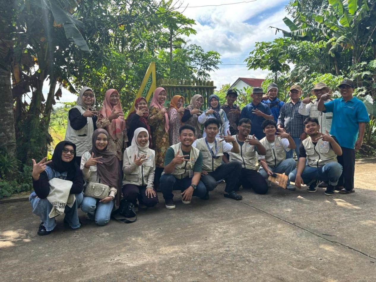
The research team, led by 10 students and a supervisor, spent weeks walking the steep slopes with local farmers, tagging each significant tree with GPS coordinates. They documented 247 durian trees, 183 bamboo clumps, and 96 mangosteen trees. When they overlayed this agricultural treasure map onto the landslide risk map, they found that 42 percent of these high-value assets sit in moderate- to high-risk zones.
“It’s not that people made mistakes planting where they did,” explains Bambang W. Nugroho, the study’s corresponding author. “They planted where the soil was fertile, where their fathers and grandfathers planted before them. The problem is that the same conditions that make soil fertile—volcanic material, slope position—can also make it unstable.”
Science Meets Local Knowledge
What makes this project different from typical academic studies is how deeply the community was involved. This wasn’t a case of researchers parachuting in, collecting data, and disappearing to write papers. Nganti residents weren’t subjects—they were partners.
Local farmers helped validate satellite imagery against what they knew from decades on the land. The head of Nganti Hamlet, Abdul Malik “Aan” Ar-Rayhan, walked the researchers through every RT and RW (neighborhood units), introducing them to families, explaining land ownership patterns, and sharing oral histories of past landslides that never made it into official records.
Youth groups like Karang Taruna CORNIDA helped with the physical mapping work. Women from the PKK (Family Empowerment Organization) provided insights into which areas were most critical for household safety and community infrastructure.
“When we showed the preliminary maps to the community, they didn’t just accept them,” says Rizky Maulana, one of the lead student researchers. “They corrected us. They pointed out seasonal drainage patterns that satellite imagery missed. They showed us recent land use changes. The final map is truly a co-creation.”
A Tool, Not Just a Document
The resulting master plan, now officially held by the village government, does more than just paint colorful risk zones on a map. It provides practical, location-specific recommendations that balance safety with livelihood protection.
In high-risk zones (the 25 hectares marked in red), the plan recommends structural interventions: planting vetiver grass to stabilize slopes, improving drainage systems, and restricting new construction. But it doesn’t tell farmers to abandon their productive trees—instead, it suggests combining conservation techniques with continued cultivation.
In moderate-risk zones, which cover half the village, the focus is on early warning systems and sustainable agricultural practices. Low-risk areas—just 35 hectares—are prioritized for infrastructure development and potential agricultural intensification.
The map also reveals something unexpected: land ownership patterns don’t follow risk patterns. Families with plots in safe zones and hazardous areas are intermingled throughout the community, meaning that mitigation efforts must be community-wide rather than targeted to specific groups.
Why This Matters Beyond Nganti
Kulonprogo Regency is no stranger to landslides. The Menoreh Hills have seen deadly events before, and with rainfall patterns becoming less predictable due to climate change, the risks aren’t going away.
But previous studies have mostly looked at the regency at a broad scale. This research is the first to zoom in to the hamlet level, producing data granular enough for actual decision-making.
“This is replicable,” Nugroho emphasizes. “Any village in Indonesia—or anywhere in the world—with landslide risks and valuable agricultural assets could use this same approach. It combines sophisticated technology with local participation. The cost is modest. The benefits are permanent.”
For disaster management agencies (BPBD) at the district and provincial levels, the study offers a template for how to integrate local knowledge into formal risk reduction planning—a goal that national policy supports but implementation often struggles to achieve.

The result of mapping the potential, yet disaster-prone, Nganti Hamlet area. Source: KKN 026 documentation
The People Behind the Map
Walking through Nganti today, you’ll see farmers who can now explain why certain slopes are riskier than others. You’ll meet village officials who carry mental maps of which roads might need evacuation routes. You’ll find young people who learned to use GPS devices and now see their homeland through new eyes.
“This process changed how we see ourselves,” says Pak Aan, the Hamlet Head. “Before, we were just farmers. Now we feel like managers of our own future. We have data. We have a plan. When we talk to the district government about roads or drainage or disaster funds, we’re not just asking—we're showing them exactly what we need and why.”
The research team acknowledges limitations. Their landslide analysis used static data—slope, soil type, elevation, rainfall averages, and land use—without tracking how these factors change over time. The crop inventory represents a single snapshot, not seasonal or long-term patterns. And they only studied landslides, not other hazards like earthquakes or flash floods that could interact with landslide risks.
But these limitations point toward future research directions. The team hopes to return for longitudinal monitoring, adding time-series satellite data and possibly installing simple sensors to track slope movement over seasons.
A Model for Rural Development
What emerges from this project is something rare: a genuinely useful piece of research that serves both scientific and community purposes. The academic paper will be published. The master plan sits in the village office, ready to guide decisions for years to come. And the people of Nganti now carry knowledge that no external expert could have given them—knowledge they helped create.
In an era when “community empowerment” has become a buzzword often disconnected from reality, this project demonstrates what it actually looks like: villagers walking slopes with GPS devices, youth groups debating map classifications, women’s organizations verifying land boundaries, and a final product that belongs to everyone because everyone helped build it.
The durian will keep growing on those steep slopes. The rains will keep coming. But now, for the first time, the people of Nganti know exactly what they’re dealing with—and they have a plan.
Quick Facts:
*- Location: Nganti Hamlet, Hargotirto Village, Kulonprogo, Yogyakarta
- Total area mapped: 151.5 hectares
- High-risk zone: 25.3 hectares (16.7%)
- Moderate-risk zone: 78.0 hectares (51.5%)
- Assets documented: 247 durian trees, 183 bamboo clumps, 96 mangosteen trees
- Assets in moderate/high-risk zones: 42%
- Research approach: Satellite data (DEMNAS, CHIRPS) + community GPS tagging + participatory validation
- Sponsored by #kknumy #umy*
메타데이터
- post_id
- f22c2259dca3
- slug
- mapping-paradise-and-peril-how-indonesian-villagers-are-using-tech-to-outsmart-landslides-f22c2259dca3
- url
- https://medium.com/@bwnbiz/mapping-paradise-and-peril-how-indonesian-villagers-are-using-tech-to-outsmart-landslides-f22c2259dca3
- canonical_url
- https://medium.com/@bwnbiz/mapping-paradise-and-peril-how-indonesian-villagers-are-using-tech-to-outsmart-landslides-f22c2259dca3
- author_url
- https://medium.com/@bwnbiz
- status
- ok
- fetched_at
- 2026-06-09 15:37:30