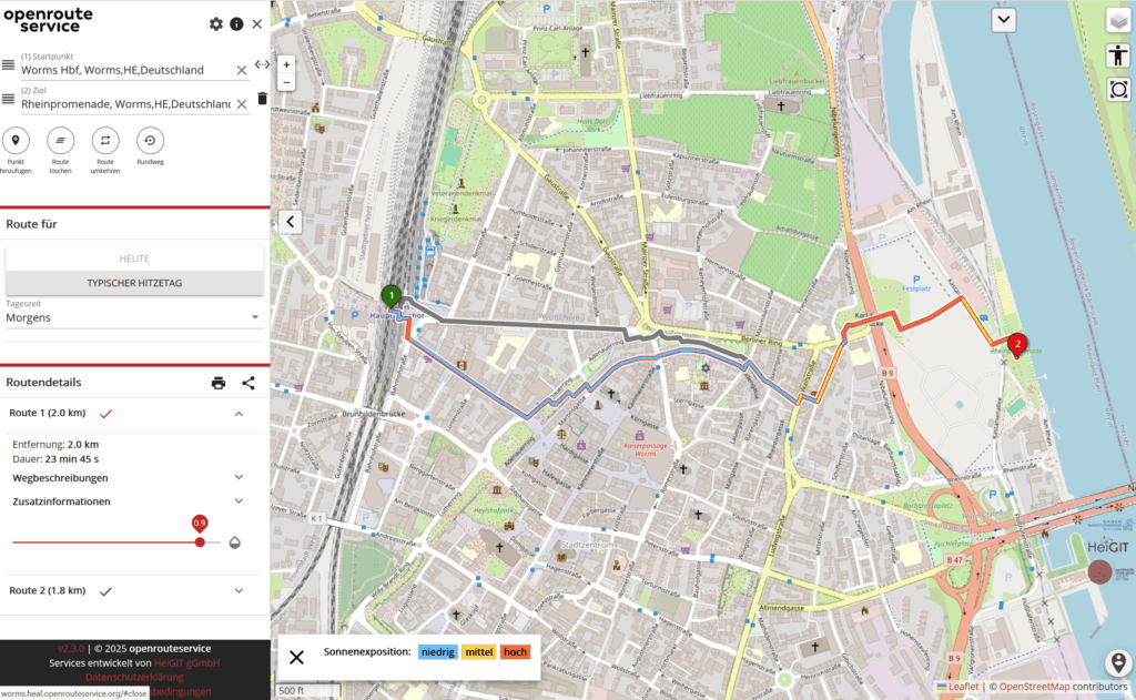
SPT HE HeiGIT A Routing App to Avoid the Heat: HEAL App now available also for Worms As summer temperatures soar, being outdoors poses rising health risks, especially in urban areas and for vulnerable groups like the…
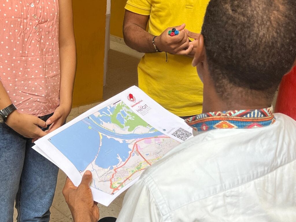
ECO SCI HE HeiGIT Including Local Communities in Colombia´s Risk Governance with Participatory Mapping In June 2024, researchers from the Urban Big Data Centre (UBDC) and HeiGIT (Heidelberg Institute for Geoinformation Technology) carried out…
HE HeiGIT Risk Assessment QGIS Plugin to support the development of Early Action Protocols As part of our ongoing work in Anticipatory Action, a QGIS plugin for risk assessments was developed with the goal of enabling local actors…
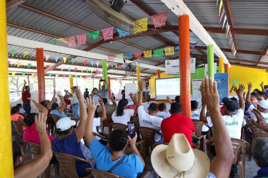
ART SOC HE HeiGIT Flood risks in Honduras The Sketch Map Tool was used in a joint effort between the Honduran Red Cross and the municipal government to update the municipal response…
SCI MDA HE HeiGIT Unveiling the HeiGIT Climate Action Navigator Part 4 — Land Use and Land Cover Change Emissions The Climate Action Navigator (CAN) is HeiGIT’s interactive dashboard offering high-resolution data and key climate indicators, ranging from…
TCH HE HeiGIT use-case: measuring city walkability with openrouteservice The study presents a detailed analysis of walking access to key built environment assets linked to the social determinants of health. Using…
SCI LIF GI GIScience Heidelberg / HeiGIT More food, more water, less carbon? Costs andbenefits of global land-use optimality
ART GI GIScience Heidelberg / HeiGIT SketchMapTool Enters Next Phase with Funding from German Red Cross and German Federal Office
ECO GI GIScience Heidelberg / HeiGIT Expanding Disaster Management Capabilities with OpenRouteService
SCI GI GIScience Heidelberg / HeiGIT Cooperation between HeiGIT, the German Red Cross and the German Aerospace Center
AI TCH GI GIScience Heidelberg / HeiGIT Exponat aus Heidelberg bietet Training für KI-Algorithmen auf der MS Wissenschaft